141 тысяч подписчиков
99 видео
How to Create a Viewport in Autocad Layout, Online Free Tutorial Courses - autocad -
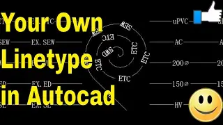
AutoCAD- How to Make A Custom Linetype in AutoCAD - AutoCAD Online Tutorial
AutoCAD Tutorial - How To Print Layout on Custom Paper Size in AutoCAD- Online Course
AutoCAD How To Draw Isometric Drawing in AutoCAD, How to Switch to 2d Isometric View
Autocad Tricks Best Commands And Techniques Best Autocad Tricks - Part 2- AutoCAD Online Tutorial
How to Draw Manual Earthwork Cross Sections and Calculations by Average End Area Method in AutoCAD
How To Scale Autocad Layout Template & Title Block, Layout Setting, Printing autocad what is layout
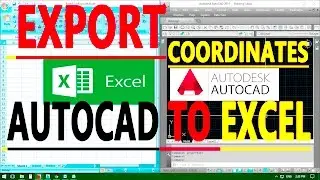
How to Export AutoCAD Coordinates for Polyline and Points to MS Excel - AutoCAD Online Tutorial
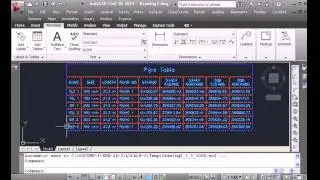
Autocad Civil 3D Tutorial - Create Pipes and Road Crossing Ducts Civil 3D
AutoCAD- How to Make A Custom Linetype in AutoCAD - AutoCAD Online Tutorial Classes
Earthwork Crossection Of Formation Level Of A Road In AutoCad - AutoCAD Tutorial Online
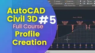
Civil 3D Tutorial - Road Profile Creation in Civil 3D by AutoCAD elements.
09 Creating Cross Sections in AutoCAD Civil 3D Tutorial Complete Training Videos With Working Files
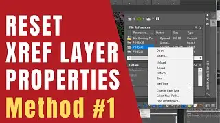
AutoCAD How to Reset Xref Layer Properties with VISRETAIN Command
How to Use AutoCAD Command Alias Editor, Keyboard Commands & Shortcuts Guide, Tutorial Online Course
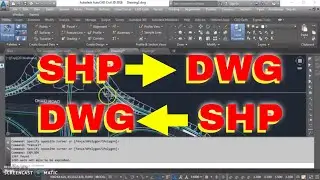
How to Export Civil 3D Drawing to AutoCAD DWG Easily Convert Drawings Classes Tutorials insurance
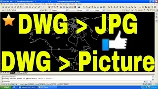
Convert AutoCAD DWG to JPG high resolution | AutoCAD Printing to JPG, JPEG or PNG Picture FREE
Autocad How To Rotate Viewport in Model Space - Rotate View -Online Free AutoCAD 4 Classes
AutoCAD Data Extraction to Excel How to Export Data from AutoCAD to Excel AutoCAD 16 tutorial elec
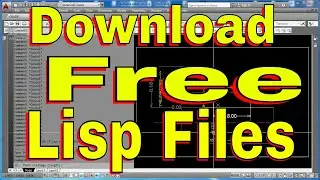
Free AutoCAD Lisp Routines to Calculate Slope & Gradient B/W Points, Linear Interpolation How To Use
How to Edit Multiple Attributes Values at Once In Autocad
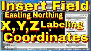
AutoCAD How to Use Insert Field Command to Create Easting, Northing XYZ Coordinates - Free Classes
AutoCAD Civil 3D Tutorial Road Profile Creation From File in AutoCAD Civil 3D, ACAD, AutoDesk C3D
Convert Text to Points With Elevations In AutoCAD By Data Extraction from Excel
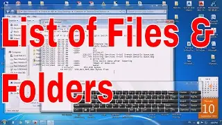
How to Create A Printable List of Files and Folders in A Directory - Windows Helping Trick r list
Master AutoCAD Printing: How to Print Long Sheets & Create Custom Paper Sizes Like a Pro!
JT CAD - AutoCAD tips and tricks cad tutorials free course
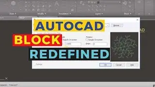
How to Create Block in AutoCAD - All About AutoCAD Blocks - Free Tutorial Course Classes On Youtube
How to Use AutoCAD Civil 3D Points Creation from AutoCAD Points - Convert Points Classes Tutorial
AutoCAD How to Reset Xref Layer Properties By Using RXL Lisp Command
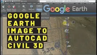
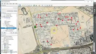
Importing a Google Earth / Bing Map into Civil3D Integrate Google Earth Aerial Map With Civil 3D
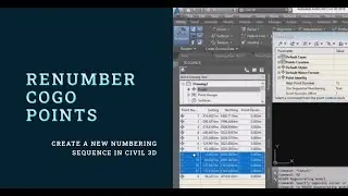
Cogo Points Renumbering in AutoCAD Civil 3D Step by Step Tutorial
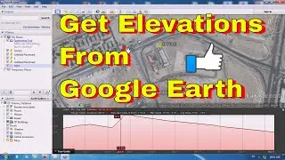
Surface Profile from Google Earth - Google Earth Topography Profiles - Google Earth for surface
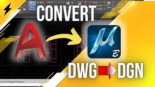
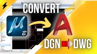
How to convert DWG to DGN By using AutoCAD and Microstation
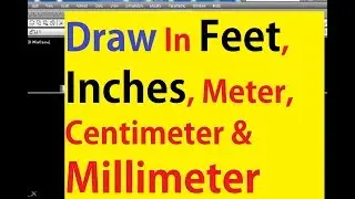
How to Draw a Line in Feet & Inches or Meter & mm By Using the Autocad Basic LINE Command - Tutorial
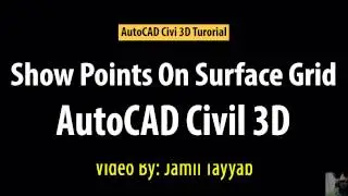
AutoCAD Civil 3D - Grid Points on Surface - Grid Points Coordinates - Free Online Tutorial Classes
05 Creating Profiles in AutoCAD Civil 3D Complete Training Videos
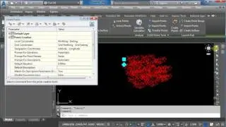
02 Points in AutoCAD Civil 3D Tutorial Complete Training Videos With Working Files
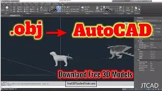
How to Open 3ds File in AutoCAD - How to import a obj file into AutoCAD - AutoCAD to Blender
Imagine have AutoCAD on your table.
Understanding BIM Levels: From Basics to Collaboration
Export Shapefile from Autodesk Civil 3D - Exporting and Importing SHP Files From Civil 3D
DWG to KML How to Overlay AutoCAD Drawing in Google Earth Export AutoCAD Objects to Google Earth Map
1 Introduction to AutoCAD Civil 3D | Tutorial Complete Training Videos With Working Files
06 Assemblies and Subassemblies in Civil 3D Complete Training Videos and Tutorial
Autocad Best Commands And Techniques Best Autocad Tricks Part 1 - Youtube Autocad Training Classes
08 Creating Surface From Corridor in Civil 3D Full Course
Calculating a Stockpile Volume By Using AutoCAD Civil 3D Surface Analyze Option Volume Surface
Convert PDF To DWG Editable AutoCAD Drawing | Auto cad Software Classes
Convert AutoCAD Coordinates to Latitude and Longitude - N E to Lat Long - XY to Lat Long - UTM
Autodesk Civil 3D Road Profile and Drawing Settings - Simple Road Profile - FREE TUTORIAL classes
Extend Polyline with Desired Length
How To Convert DGN to DWG By using Microstation and AutoCAD