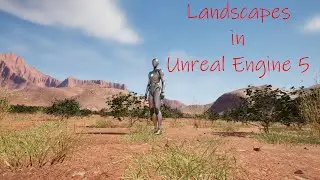
Landscapes in Unreal Engine 5 – Video 3a - NASA Satellite Imagery for areas outside of North America
In this video I will show you how to get ASTER Global Digital Model (DEM) imagery from another NASA website and use it with Microdem. You will need to download and install GDAL. The link is below. I will then show you how to find, download, and open the imagery in Microdem. Once you have it open, the steps are the same as in video 3 to resize, interpolate, smooth, and export it.
Microdem - https://microdem.org/