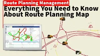
QGIS tutorial: How to create routing planning map and management routing services
Creating, visualizing, and managing networks is an important part of GIS. Many types of physical infrastructure such as roads, railways, utilities can be modeled as networks with lines and nodes - with properties attached to them. In this tutorial, we will learn how road networks are commonly modeled and apply some styling techniques to visualize the routing properties. We will also use QGIS3’s built-in tools for network analysis that to find the shortest path between 2 points along with the network.
Qgis / arcgis / arcgis pro