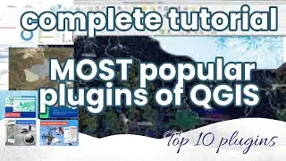
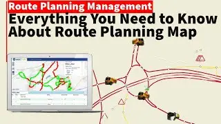
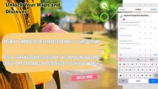
QGIS Most Popular plugins Practical COMPLETE Course How to FINDING and USING
QGIS is a geographic information system (GIS) software that is free and open-source.QGIS supports Windows, macOS, and Linux. It supports viewing, editing, printing, and analysis of geospatial data. , QGIS was previously also known as Quantum GIS.
Functionality
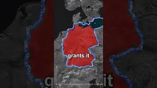
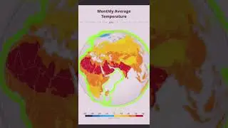
QGIS functions as geographic information system (GIS) software, allowing users to analyze and edit spatial information, in addition to composing and exporting graphical maps. QGIS supports raster, vector and mesh layers. Vector data is stored as either point, line, or polygon features. Multiple formats of raster images are supported, and the software can georeference images.
QGIS supports shapefiles, personal geodatabases, dxf, MapInfo, PostGIS, and other industry-standard formats. Web services, including Web Map Service and Web Feature Service, are also supported to allow use of data from external sources.
QGIS integrates with other open-source GIS packages, including PostGIS, GRASS GIS, and MapServer] Plugins written in Python or C++ extend QGIS's capabilities. Plugins can geocode using the Google Geocoding API, perform geoprocessing functions similar to those of the standard tools found in ArcGIS, and interface with PostgreSQL/PostGIS, SpatiaLite and MySQL databases.
QGIS can also be used with SAGA GIS and Kosmo.
..........................................................
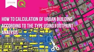
how to create 3D building map 0:00
how to remove digitizing error 5:55
how to install qgis 11:25
how to convert KML to shp 12:28
how to download osm data Will separate the city 20:00
how to download DEM update free 24:29
how to download high resolution imagery free 28:00
........................................
.................................................
GEM-TECH Geography
arcgis pro tutorial for beginners,
arcgis tutorial,
arcgis pro,
qgis tutorial making a map,
qgis making a map,
qgis class
gis,Geographic Information Systems
arcgis pro,
remote sensing
#mapping #gis #maps #cartography #geography #qgis #arcgis #sig #geoprocessamento #کیوجی_آی_اس #جی_آی_اس #کارتوگرافی #maping
-For more information and communication with the admin, you can use the following communication method:
Telegram: GEM-TECH Geography
@QAM_12345
Email: GEM-TECH Geography
[email protected]
Facebook: GEM-TECH Geography
https://www.facebook.com/profile.php?id=10...