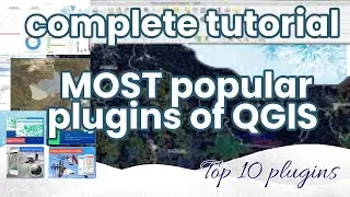
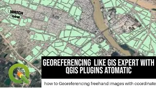
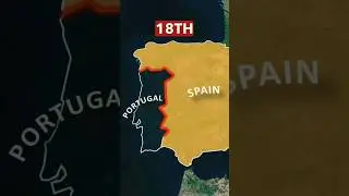
QGIS tutorial: how to Georeferencing freehand images with coordinate like GIS Expert
what's Georeferencing?
Georeferencing or georegistration is a type of coordinate transformation that binds a digital raster image or vector database that represents a geographic space (usually a scanned map or aerial photograph) to a spatial reference system, thus locating the digital data in the real world. It is thus the geographic form of image registration. The term can refer to the mathematical formulas used to perform the transformation, the metadata stored alongside alongside or within the image file to specify the transformation, or the process of manually or automatically aligning the image to the real world to create such metadata. The most common result is that the image can be visually and analytically integrated with other geographic data in GIS and Rs software.
#space #earth #viral
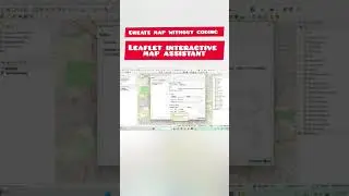
Freehand raster georeferenced plugin for QGIS
How to create qgis plugin
• QGIS Tutorial : Create A Qgis Plugin ...
how to create 3D city map
• QGIS Tutorial: Create Impressive 3D C...
how to create web map with out coding
• QGIS Tutorial: Wep GIS || QGIS || arc...
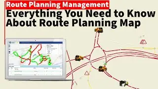
how to create routing map
• QGIS tutorial: How to create routing ...
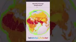
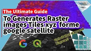
remote sensing / remote sensing and gisgeofencing / free satellite image / mosic image with coordinate / what is remote sensing
how to use arcgis to create a map