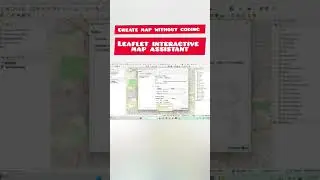
create interactive web maps without coding in leaflet
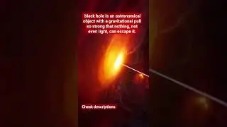
#qgis #python #plugin #space #astronomy #coding #gis #universe #blackhole #android
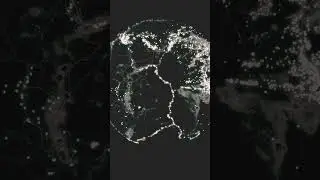
web mapping without coding with leaflet.js
A wizard to create interactive maps in the browser using #leaflet
It creates interactive maps that can be opened in the browser through the available vector layers.
It is possible to change symbology colors and strokes, attribute labels.
At the end of processing, the add-on will generate a folder with the necessary files for display in any browser.