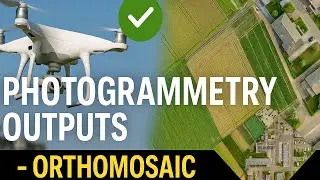
Photogrammetry Outputs - 3D Model
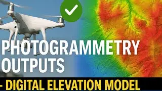
In a world where technology is always evolving, drone surveys have become the unsung heroes of data mapping and collection. Among their many superpowers, perhaps the most captivating is their ability to create 3D models.
If you prefer reading, please follow the blog:
/ photogrammetry-outputs-3d-model
Find more similar blogs on our medium channel,
/ surveygyaan
Find more similar videos on our playlists here
Surveyaan Geoworkspace: • Suveyaan GeoWorkspace
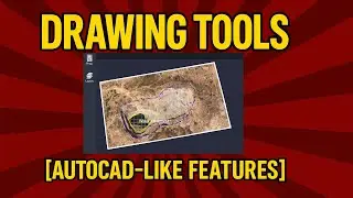
Drone Survey and AutoCAD: • Drone Survey and AutoCAD
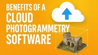
Register on https://app.surveyaan.com/ to use our Photogrammetry Software named Surveyaan GeoWorkspace.
Social Media
Facebook: / surveyaan
Twitter: / surveyaan
LinkedIn: / surveyaan
Website: https://www.surveyaan.com/
Youtube: / @surveygyaanbysurveyaan
And also feel free to subscribe to our channel SurveyGyaan by Surveyaan provided below for more videos.
/ @surveygyaanbysurveyaan