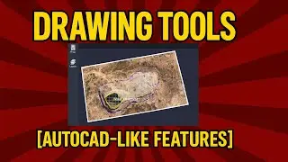
Planning Tools - Contours
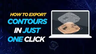
Contour lines connect places that are at the same elevation. In this video we will see how to export contours using the Surveyaan geoworkspace
Find more similar blogs on our medium channel,
/ surveygyaan
Find more similar videos on our playlists here
Surveyaan Geoworkspace: https://youtube.com/playlist?list=PLx...
Drone Survey and AutoCAD: https://www.youtube.com/playlist?list...
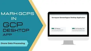
Register on https://app.surveyaan.com/ to use our Photogrammetry Software named Surveyaan GeoWorkspace.
Social Media
Facebook: / surveyaan
Twitter: / surveyaan
LinkedIn: / surveyaan
Website: https://www.surveyaan.com/
Youtube: / @surveygyaanbysurveyaan
And also feel free to subscribe to our channel SurveyGyaan by Surveyaan provided below for more videos.
/ @surveygyaanbysurveyaan