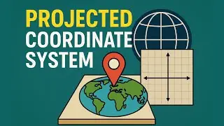
Projected Coordinate System
The Projected Coordinate System helps you to project a specific round-earth model onto a flat surface or map
If you prefer reading, please follow the blog : / projected-coordinate-systems
Surveyaan Free Tools - https://free-tools.surveyaan.com/
Find more similar blogs on our medium channel,
/ surveygyaan
Find more similar videos on our playlists here
Surveyaan Geoworkspace: https://youtube.com/playlist?list=PLx...
Drone Survey and AutoCAD: https://www.youtube.com/playlist?list...
Register on https://app.surveyaan.com/ to use our Photogrammetry Software named Surveyaan GeoWorkspace.
Social Media
Facebook: / surveyaan
Twitter: / surveyaan
LinkedIn: / surveyaan
Website: https://www.surveyaan.com/
Youtube: / @surveygyaanbysurveyaan
And also feel free to subscribe to our channel SurveyGyaan by Surveyaan provided below for more videos.
/ @surveygyaanbysurveyaan