7 тысяч подписчиков
111 видео
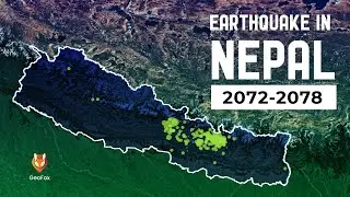
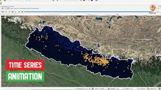
Earthquake In Nepal Since B.S. 2072 || Earthquake Data Animation Of Nepal || GeoFox
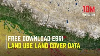
ESRI Land Use Land Cover Data 2022 Download || 10M Resolution Latest Land Cover Data || The GIS Hub
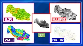
Slope || Aspect || Hillshade || Contour || Surface Analysis Using DEM Data In ArcGIS ||
How To Add Excell Data In ArcGIS || How To Add CSV Data In ArcGIS || ArcGIS ||
QGIS For Absolute Beginners #2 || Basic Of QGIS || QGIS Tutorials For Beginner || GeoFox
Add Basemap In QGIS || OSM Basemap, Google BaseMap in QGIS || QGIS Tutorial || The GIS Hub
QGIS For Absolute Beginners || QGIS Tutorials For Beginner || GeoFox
How to Download Building Footprint Data with Google Earth Engine | Open Buildings Dataset Tutorial
Complete Beginner's Guide to ArcGIS: GIS Tutorial with Practical Examples
CSS 3D Flipping Card Hover Effect || CSS 3D Effect || HTML And CSS Tutorials
How To Add OpenStreetMap And Google Satellite Imagery Base Map Layer In QGIS || Base Map || GeoFox
How To Create Animated Profile Card Using HTML And CSS Only || Amazing Profile Card
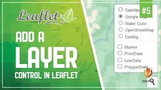
Leaflet JS Tutorial || Layer Group And Control || Leaflet Series || GeoFox || Leaflet #5
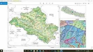
How To Create Comparison Map In QGIS || Side By Side Comparison Map || QGIS Tutorials ||
How To GeoReference Your Map In QGIS || GeoReferencing In QGIS ||
Working With Raster Data || QGIS For Absolute Beginners #5 || QGIS Tutorials For Beginner || GeoFox
QGIS For Absolute Beginners #3 || Plugin In QGIS || QGIS Tutorials For Beginner || GeoFox
Download High-Resolution Satellite Imagery For Free Upto 15cm Using SAS Planet ||
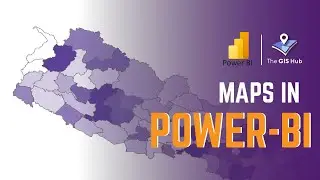
Create Custom Maps In Power BI with Shapefiles || Choropleth Map ||
How To Create Card In HTML And CSS With Hover Effect || HTML And CSS Tutorials
How To Install Python GeoPandas || 100% Success || Python For Geospatial Analysis
Top 10 GIS Software Applications In 2022 || Geographic Information System ||
How To Add Video Background In A Website Using HTML And CSS Only || Video In A Website || HTML & CSS
Leaflet Full Course || Leaflet Crash Course || Leaflet For Beginners || The GIS Hub
QGIS For Absolute Beginners #4 || Working With Vector Data || QGIS Tutorials For Beginner || GeoFox
How To Make Time Series Animation Using QGIS || Earthquake Data Visualization In QGIS || GeoFox
QGIS For Absolute Beginners #1 || Course Review || QGIS Tutorials For Beginner || GeoFox
Thank You 2500 Subscribers
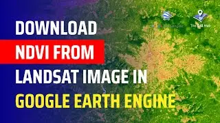
How to Download NDVI Data from Landsat Images in Google Earth Engine | Step-by-Step Tutorial
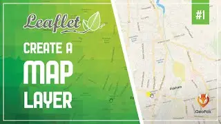
Leaflet JS Tutorial || Create A Map Layer Using Leaflet || Leaflet Series || GeoFox || Leaflet#1
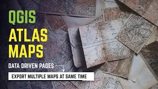
ATLAS Map In QGIS || Data Driven Pages In QGIS || Export Multiple Maps At A Same Time ||
Leaflet JS Tutorial || Add Shapefile In Leaflet || Leaflet Series || GeoFox || Leaflet #7
How To Import Shapefile Into Google Maps || Embed Google Maps In Your Website || The GIS Hub
How To Download Sentinel-2 Satellite Imagery (10M Resolution) || Geographic Information System
Awesome CSS Search Box Using HTML And CSS || CSS Animated Search Box
Leaflet JS Tutorial #1 || Create A Map Layer Using Leaflet || Leaflet Series Tutorials.
Create Cool And Attractive Hover Effect In Adobe XD || Hover Effect In Adobe XD || Adobe XD Tutorial
Login Screen UI Design With Adobe XD || Create Attractive Login Form Using Adobe XD || Adobe XD
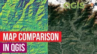
Map Comparison In QGIS ||
Blender GIS Add On || Import OSM Building Footprint and Create 3D Buildings in Blender ||
Digitization In QGIS || QGIS For Absolute Beginners #6 || QGIS Tutorials For Beginner || GeoFox
Leaflet JS Tutorial || Use Different Map Tile Layer || Leaflet Series || GeoFox || Leaflet #3
River Land Encroachment || Before And After Video Using Google Earth Pro || The GIS Hub
Supervised Classification Using ArcGIS || Landsat-8 Image || ArcGIS Tutorial || GeoFox
Leaflet JS Tutorial || Add Google Map To Your Website || Leaflet Series || GeoFox || Leaflet #4
Map Layout In QGIS || QGIS For Absolute Beginners #7 || QGIS Tutorials For Beginner || The GIS Hub
Leaflet JS Tutorial || Use GeoJSON With Leaflet || Leaflet Series || GeoFox || Leaflet #6
River Network And Catchment Area In 3D Demo || 3D-GIS || GeoFox
How To Create Image Gallery Using HTML And CSS With Hover Effect || HTML And CSS Tutorials