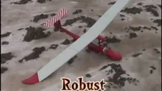
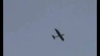
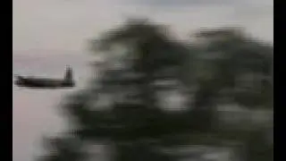
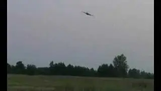
Pteryx UAV motorway aerial mapping
Aerial mapping with Pteryx UAV
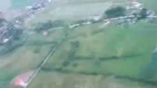
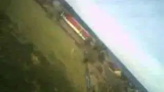
motorway construction site length 20km
(40km round trip)
A short report of a custom mission flown by Pteryx UAV.
Normally you are expected to use pre-programmed missions flying over a square area using rotary mission selector mounted on the fuselage.
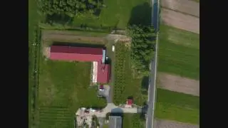
This time we demonstrate a case when the client has supplied a list of 200 fixed coordinates. Around 30 of them were used for defining round-trip route hoping to map the motorway construction site in Poland.
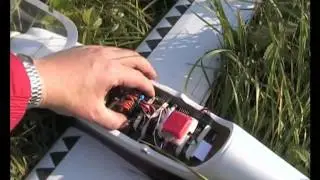
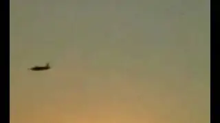
We have used a light compact camera and unusual payload of batteries that allowed more than 1.5h of autonomy (it could have been more but was estimated to be already an overkill). We have used only 50minutes of endurance in presence of 20km/h head-wind which is close to operational limit for photomappping.
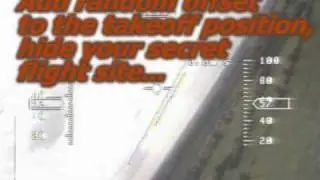
The takeoff and landing was in manual RC mode because we wanted to have a nice landing video, there was 2min of manual control during the whole flight.
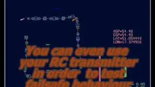
As a recovery a parachute landing is possible, plus the system is designed as having multiple failsafe conditions.
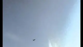
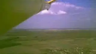
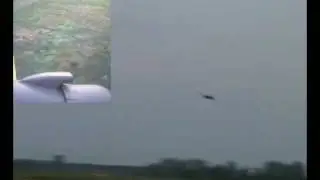
We were lucky to find a parallel road so we were able to maintain visual contact during the flight, which otherwise was 40% over forests, 50% over fields mixed with trees and 10% over public roads.
Flight altitude 200m above terrain level.
Air traffic control was aware of our activity.
pteryx.eu


![Baaje Khatiya Char Char [Bhojpuri Video]Feat.Ravi Kishan & Pakhi](https://images.videosashka.com/watch/We4oVHR1Yxw)