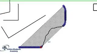
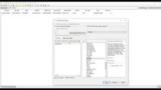
GEOMETRY CALCULATION-HOW TO CALCULATE THE PERIMETER AND SURFACE AREA OF YOUR WORKING ZONE IN ARCGIS?
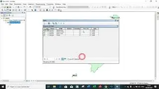
In this tutorial, you will be able to carry out certain mathematical operations and Geometric calculations in an Attribution table in ArcGIS.
The exercise is very interesting, i like it and i know you will also!!!