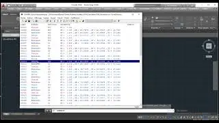
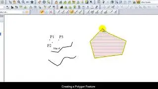
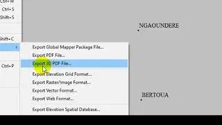
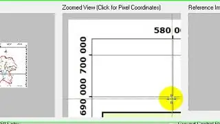
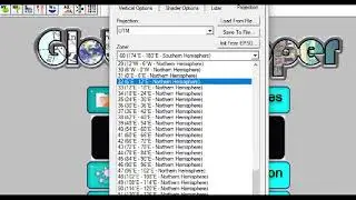
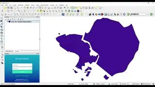
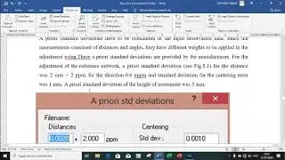
How to Carry Out a 3D Survey in Global Mapper?
In this tutorial you will be able to plan your survey operations before going to the field.
Watch the video it is nice and educative.
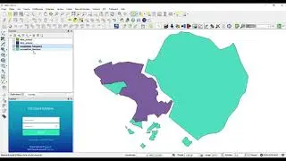
In this tutorial you will be able to plan your survey operations before going to the field.
Watch the video it is nice and educative.