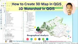
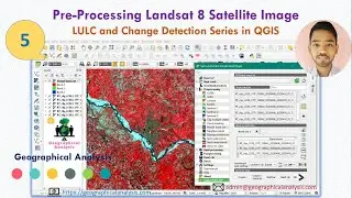
How to Create QGIS 3D Map | 3D Watershed in QGIS | 3D Model Using QGIS | qgis2threejs
Hi friends, in this video we will learn...
How to Create QGIS 3D Map. How to Prepare 3D Watershed in QGIS. How to make a 3D Model Using QGIS. Uses of qgis2threejs plugin.
We try to solve your queries regarding:
How to Create QGIS 3D Map,
How to Prepare 3D Watershed in QGIS,
How to make a 3D Model Using QGIS,
Uses of qgis2threejs plugin.
River Network and Catchment Delineation from DEM using QGIS: • River Network and Catchment Delineati...
QGIS Tutorials in Bengali (বাংলা): • QGIS Tutorials in Bengali (বাংলা)
**Remote Sensing and GIS Book - https://amzn.to/3h2PIxY
**MY MIC - https://amzn.to/2SBfobs
**MY LAPTOP - https://amzn.to/3dvlxND
**HP Ink Tank Printer - https://amzn.to/3y85Io6
**MY Keyboard and Mouse - https://amzn.to/3y3jS9K
**Bluetooth Headphone - https://amzn.to/3629UcR
Like our Youtube Channel for the next update and videos.
/ @geographicalanalysis
For any queries
E-mail
[email protected]
Follow on
Facebook Page
/ geographicalanalysis
Twitter
/ geographicala
Website:
https://geographicalanalysis.com
#3D_QGIS #3D_Watershed #QGIS
