199 тысяч подписчиков
189 видео
Landslide Detection using Deep learning Neural Network | Landslide4Sense | GeoDev
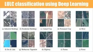
Land use land cover image classification using deep learning | EuroSat | ResNet50 | GeoDev
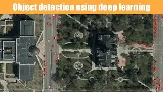
Deep Learning Car Detection using satellite imagery on Google Colab || YOLO || GeoDev
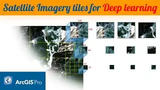
Export training dataset for deep learning neural network | ArcGIS Pro | GeoDev
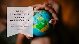
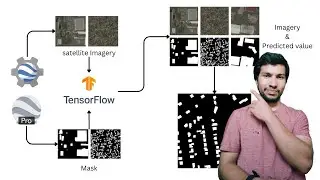
Satellite Imagery Deep Learning | Earth observation | Tensorflow | GeoDev
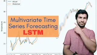
Unlocking the Future: How to Predict Weather with LSTM
The Ultimate Guide to Building Detection with Deep Learning in Python
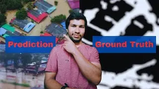
Flood mapping using Deep Learning | Image Segmentation Methodology
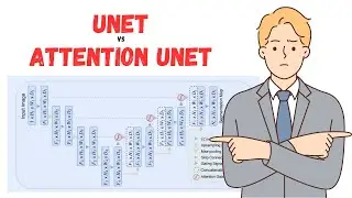
Take Your Tensorflow Skills to New Heights with Attention Unet
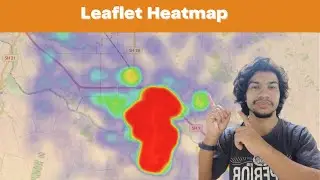
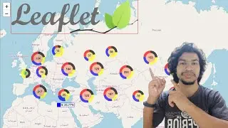
Leaflet Heatmap | Web-GIS | GeoDev
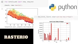
Rasterio for absolutely beginner | Geospatial data analysis with python | GeoDev
End to End Deep Learning with Google Earth Engine (GEE) Dataset
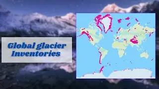
Global Glacier Inventory Download for Free| RGI dataset |
Leaflet control function | Layer control | tekson
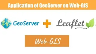
GeoServer with leaflet | Application of GeoServer on web-GIS
import and export shapefiles into database using command pormpt || shp2pgsql || pgsql2shp || tekson
Add marker in google map JavaScript API part #03 | GeoDev
Working with big data (20GB) in pandas | Python Dask | GeoDev
Popup image with leaflet || Leaflet marker || Leaflet marker options || tekson
Raster reclassification using python || GeoDev
import and export shapefiles in database
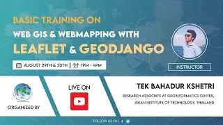
Web-GIS and Web-Mapping with leaflet and geoDjango|| 2nd Day || tekson
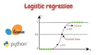
Logistic regression in python | scikit-learn | Machine learning basic | GeoDev
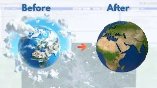
Ultimate Guide To Remove Cloud in Google Earth Engine (GEE) | GeoDev
Python for absolute beginners in 2024 | Python crash course | GeoDev
Leaflet geolocation | Find current location of user | GeoDev
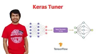
Tuning Hyperparameters using Keras Tuner | Tensorflow | GeoDev
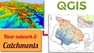
Stream Network and Catchments derive from DEM in QGIS | watershed delineation | GeoDev
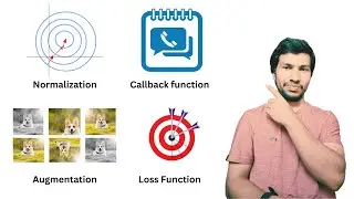
Data augmentation and loss function | DL
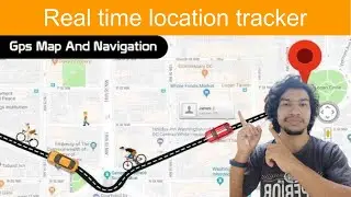
Real time location tracker app on leafletjs || HTML5 geolocation || Tekson
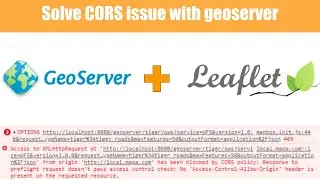
How to solve cors issue in geoserver || GeoServer || GeoDev
Glacier volume loss calculation from 1970 to 2000 |
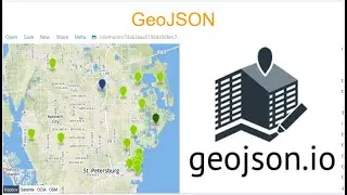
What is GeoJSON, How to use, What is the important of GeoJSON? | geojson.io | mapshaper | tekson
QGIS for Absolutely Beginners in one hour | QGIS tutorial in 2023 | GeoDev
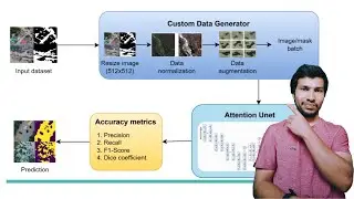
Flood mapping using Deep Learning | Attention Unet
Publish an NPM Package in Under 5 Minutes 2023 || Write and Publish Leaflet Plugin || GeoDev
Marker cluster in leaflet | GeoJSON points to cluster | GeoDev
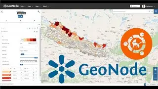
GenNode 3.2 installation on Ubuntu 20.04
Leaflet crash course | All you need to know about leaflet | Leaflet | Tekson
Deep Learning Image Data Generator | Tensorflow flood segmentation
Linear regression from Basic || 03 || Machine Learning || GeoDev
Load GeoJSON, CSV, gpx, wkt, topojson file in Leaflet | Leaflet Omnivore
Generating elevation profile in Google earth and QGIS | GeoDev
nginx and gunicorn setup in django application | 03. GeoDjango in projection | tekson
google map javascript API tutorial part #02 | GeoDev
Download SRTM DEM using QGIS | Open Topography |
5 Tools that makes you code faster | VScode Extensions 2023 | YOU MUST TRY! | GeoDev
Image Enhancement in Remote Sensing using Python
The Ultimate Guide to Adding and Removing Bands using Python | Rasterio
Search places by location || OSM geocoder || leafletjs || tekson
KNN in Python | 02 | Machine learning from scratch | GeoDev
Getting Started with Machine Learning: A Beginner's Guide
GeoServer and PostGIS on production | 01. GeoDjango in projection | tekson
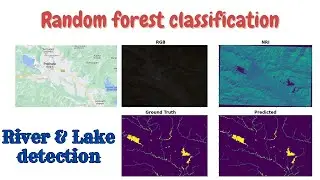
Random Forest Classifier in Python | Water Bodies Detection from Satellite Imagery | GeoDev
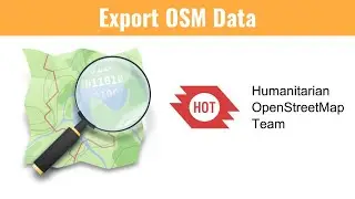
Download OSM data as a shapefile, geojson | HOT OSM export | GeoDev