The Ultimate Guide to Adding and Removing Bands using Python | Rasterio
Source code: https://github.com/iamtekson/geospati...
Rasterio library docs: https://rasterio.readthedocs.io
Timestamps:
0:00 Intro
0:49 Rasterio installation
1:29 Basic raster information (metadata, shape of array)
3:23 Remove bands from imagery
9:21 Adding NDVI band
14:36 Visualize in QGIS
Join this channel to get access to the perks:
/ @geodev
----------------------------------------------------------------------------------------
Here are some playlists that you might be interested in:
----------------------------------------------------------------------------------------
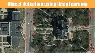
End to End deep learning using GEE dataset: • End to End Deep Learning | From data ...
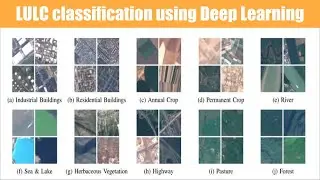
Deep Learning for Satellite Imagery: • Deep learning for satellite imagery |...
Machine learning from the basic: • Machine Learning for geospatial data
Historical Imagery Processing: • Historical Imagery processing | KH-9 ...
Leaflet from basic to advance: • Leaflet from basic to advance
GeoServer with leaflet web-GIS: • GeoServer and Leaflet Web-GIS
GeoDjango project: • Bookmark note on map | GeoDjango tuto...
geoserver-rest: • geoserver-rest
GIS training in Nepali: • Beginner GIS training in Nepali | Arc...
LULC map production: • LandUse Land Cover Map production || ...
Geospatial analysis with python: • GeoSpatial analysis with python
GeoNode from basic to advance: • GeoNode from basic to Advance
--------------------------------------------------------------------------------------------------------------
Check out my discounted courses at the following link:
--------------------------------------------------------------------------------------------------------------
1. "Geospatial data analysis with python": https://www.udemy.com/course/geospati...
2. "Web GIS Development 2021": https://www.udemy.com/course/web-gis-...
3. "Web mapping and Web-GIS from Dev to Deploy 2021: GeoDjango": https://www.udemy.com/course/web-mapp...
4. "Introduction to Web Mapping and Web GIS 2020: GeoDjango": https://www.udemy.com/course/introduc...
5. Deep Learning Application for Earth Observation: https://www.udemy.com/course/deep-lea...
6. Geospatial Data Analysis with Python: https://www.udemy.com/course/geospati...
---------------------------------------------------------------------------------------------------
Follow me on GitHub: https://github.com/iamtekson
Follow me on Twitter: / iamtekson
Follow me on Instagram: / iamtekson
Join Facebook group: / 1049524025731229
-----------------------------------------------------------------------------------------------------


![Star Citizen - Making Money with an Aurora [GIVEAWAY]](https://images.videosashka.com/watch/o7JyUhfZ3Wo)