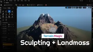
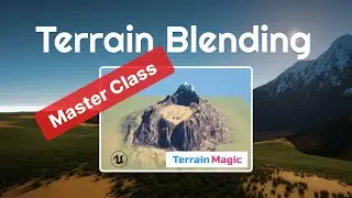
Import Lidar Scanned Terrain Data into Unreal Engine: AKA GeoTiff Import (via TerrainMagic)
Now you can directly import GeoTiff heightmap files into Unreal Engine using TerrainMagic. We will also show you how to do location scouting & download Lidar terrain files from USGS & data.gov.uk.
Get Terrain Magic - https://www.unrealengine.com/marketpl...
TerrainMagic Docs - https://gamedev4k.notion.site/Terrain...
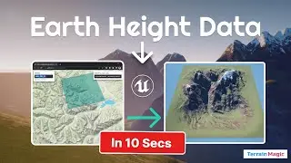
USGS Download Tool: https://apps.nationalmap.gov/downloader/
UK Data Download Tool: https://environment.data.gov.uk/Defra...
Get Sample GeoTiff Files: https://drive.google.com/drive/folder...
Join our Discord - / discord
00:00 - Demo
02:19 - Demo from an Empty Project
02:26 - Get TerrainMagic
02:44 - Create a Landscape & Setup it
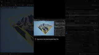
05:01 - Import a GeoTiff File
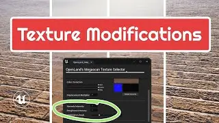
06:36 - Use other TerrainMagic features
09:45 - Download UK Lidar Terrain Data
15:31 - Download US Lidar Terrain Data
18:44 - Checkout TerrainMagic Docs


![CALLIGRAPHY ON IPAD TABLET [Arabic script on an abstract background]](https://images.videosashka.com/watch/Uu6CVlzLGhA)