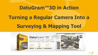
DatuGram™3D in Action Turning a Regular Camera Into a Surveying & Mapping Tool Webinar Recording
In this Datumate Live Webinar recording, held on January 27, 2015, you'll see DatuGram™3D in action and learn how to turn a regular camera into a surveying and mapping tool.
During the course of this webinar recording you will learn about the latest technology in close-range photogrammetry, specifically how to use and what to look for in a camera for surveying and mapping.
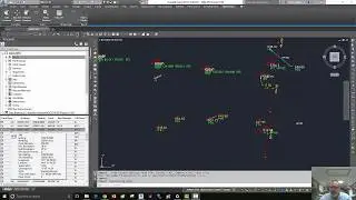
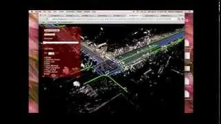
You will also see DatuGram™3D in action, working with real data collected in the field (regular, high-resolution camera images and a ground control point coordinate file) and then processing the complete data set from beginning to end for surveying and mapping using DatuGram™3D with it's intuitive user interface.
Presented By: Eric Colburn, PLS
To Learn More, Visit:
http://datumate.com
http://ericcolburn.com