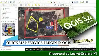
How to Install QUICK MAP SERVICE PLUGIN in QGIS Software
Go to plugin menu then click Mange and Install Plugin.
Then search for Quick Map Service PLugin and Install it.
Then Go to Web Menu and the go to settings
In the More services option click Get contributed pack.
Now enjoy Google map or any satellite map like OSM, BING, ESRI etc. overlay in QGIS.
Thanks for watching.