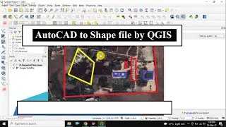
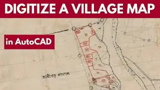
How to DIGITIZE a Scanned Village Map in AutoCAD | Raster to Vector
In this video I have shown how to digitise a scanned village map in AutoCAD.
First you have to insert a scanned map in autocad.
Then set scale and rotation to the scanned image which is called a Raster image.
you can use either SCALE and ROTATE command or ALIGN command in autocad to prepare the image.
This process is also used to convert a raster image to vector format.
Watch the full video and follow the steps to learn and explore.
Good luck.
Regards
S.Samanta
for L&E.