16 тысяч подписчиков
519 видео
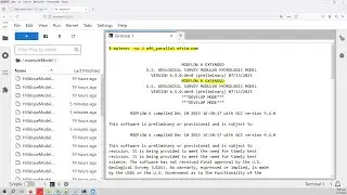
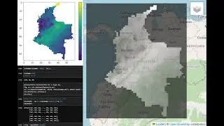
Online tools for groundwater modeling preprocessing with Model Muse
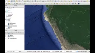
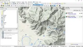
How to add a Google Map/Terrain/Satellite Layer in QGIS 3 - Tutorial
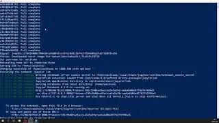
How to set a multiuser Jupyterlab server with Jupyterhub (in Windows with Docker)
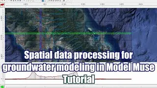
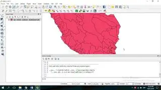
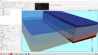
Spatial data processing for groundwater modeling in Model Muse - Tutorial
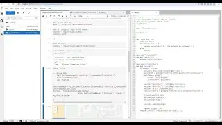
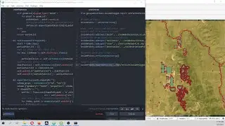
Introduction to PyQGIS, the Python environment in QGIS
How to make a geospatial Rest Api web service with Python, Flask and Shapely - Tutorial
Web representation of water chemistry data and hydrological features with Qgis2Web and Github
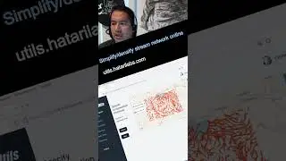
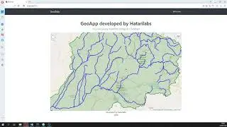
New feature of our online tool for watershed delimitation in Hatari Utils.
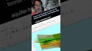
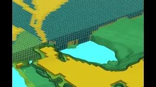
Export 3d Geological Units as Vtk format with Gempy and Aquifer App - Tutorial
Docker image containing the parallel version of MODFLOW 6 with application examples
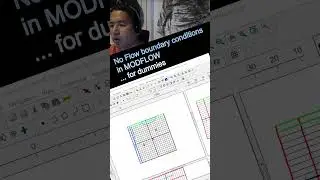
No Flow boundary conditions in MODFLOW ...for dummies
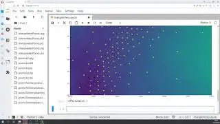
Geospatial triangular interpolation with Python, Scipy, Geopandas and Rasterio - Tutorial
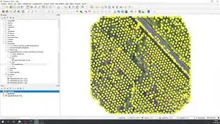
Geospatial crop counting from drone orthophotos with Python and Scikit Learn
Webinar intro: Geological modeling of sedimentary layers from rasters with Python and Gempy
Open webinar intro: Introduction to Python, Numpy, Matplotlib and Scipy for Water Resources - Oct 27
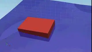
Floating Object Stability Modeling with OpenFOAM Tutorial - Animation
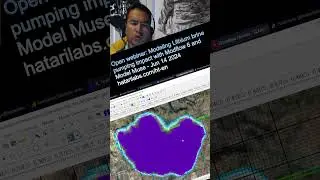
Open webinar: Modeling Lithium brine pumping impact with Modflow 6 and Model Muse - Jun 14 2024
Geological modeling of an anticline structure with Gempy and Aquifer App - Tutorial
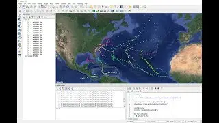
Introduction to Python and Geopandas for Flooded Area Analysis - Tutorial
3d visualization of Modflow 6 models with Model Viewer - Tutorial
How To Create Line From Points in QGIS with PyQGIS and Pandas - Tutorial
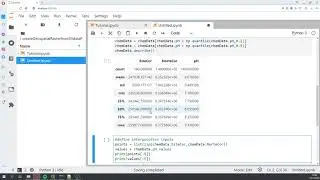
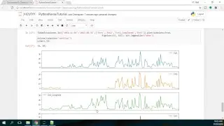
Fill Missing Precipitation Data with Machine Learning in Python and Scikit-Learn - Tutorial
How to install Python - Geopandas on Anaconda in Windows - Tutorial
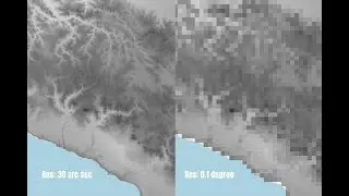
Maps of Days without Rain generation with Python and Rasterio - Tutorial
Geospatial Python class to extract vertices inside a polygon - Tutorial
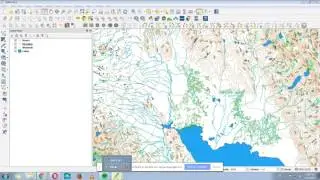
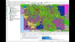
How to make a map using QGIS
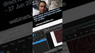
Open webinar: Flood simulation from direct rainfall with Python and Landlab - 27 Jun 2024
Land Cover Change Analysis with Python and GDAL - Tutorial
Overview of QuickMapServices Plugin for Basemaps in QGIS3 - Tutorial
Sedimentation Tank Design with OpenFOAM - Tutorial Part 0
Sedimentation Tank Design with OpenFOAM - Tutorial Part 1
How to georeference a image/raster with Python and Rasterio - Tutorial
How to decrease the Raster Resolution in QGIS3 - Tutorial
How to reproject single and multiple rasters with Python and Rasterio - Tutorial
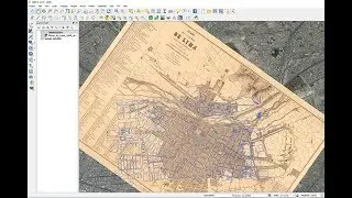
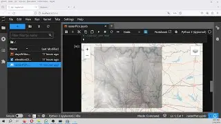
Tutorial: Georeferencing Historic/Ancient Maps with QGIS
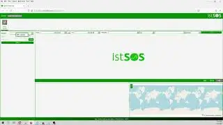
How to view temperature sensor data from a Istsos server (as viewer) - Tutorial
How to insert a 3D Geology into a MODFLOW Model with Python and Flopy - Tutorial
Tutorial of regional groundwater flow modeling with MODFLOW 6 and Model Muse 4
Developing geospatial webapps with Python and Django - Tutorial
How to install Hakuchk with Docker for Windows 10 - Tutorial
How to create a geospatial Raster from XY data with Python, Pandas and Rasterio - Tutorial
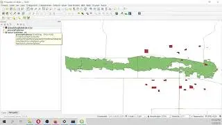
Clip Multiple Layers in QGIS with PyQGIS - Tutorial
How to add multiple Vector Layers and group them in QGIS with PyQGIS - Tutorial
Flopy Installation in Anaconda 3 - Tutorial
NDVI calculation from Landsat8 images with Python 3 and Rasterio - Tutorial
How to smooth a Aster DEM elevation raster with QGIS 3 - Tutorial
How to install Postgresql and Postgis in Windows 10 with WSL and Debian - Tutorial
How to install the R spatial library Terra on a conda enviroment - Tutorial
Fill Missing Precipitation Data with Artificial Intelligence (Python Keras) - Tutorial
Interactive representation of a geospatial raster with Python, Folium and Rasterio - Tutorial