NDVI calculation from Landsat8 images with Python 3 and Rasterio - Tutorial
Satellite images are georasters, these images are a regular array of columns and rows (a matrix per band) with a georeferenciation. Python is a programming and data analysis language very versatile for the matrix algebra with the Numpy library, however there was no efective and simple way to process a georaster until the development of the Rasterio package.
Rasterio is a library to open, write, explore and analyze georasters in Python. The library uses GeoTIFF images along with other formats and is capable to work with satellite images, digital elevation models, and drone generated imagery.
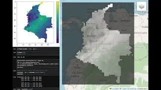
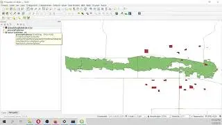
This tutorial show the complete procedure to analyse the NDVI from a Landsat 8 image with Python 3 and Rasterio. The scripting and representation was performed on a interactive enviroment called Jupyter Notebook, finally the result georaster was opened in QGIS and compared with some background images.
Input data
You can download the input data and scripts used for the tutorial on this link:
https://www.hatarilabs.com/ih-en/ndvi...