QGIS Processing Toolbox and Raster Options Not Showing
This video shows you how to solve the QGIS Processing Toolbox and Raster Options Not Showing.
For business and enquiries: WhatsApp+2347065365193 or Email: [email protected]
Buy me a coffee: https://buymeacoffee.com/geojay
Subscribe for more videos:
/ @geojaygissolution4856
Related videos:
Display correct Min and Max Raster Values in QGIS: • Display correct Min and Max Raster Va...
How to set measurement unit in QGIS: • How to set Measurement Units of QGIS
Identifying features in QGIS using identify tool: • Identifying features in QGIS using id...
Adding Current Date in QGIS Attribute Table: • Adding Current Date in QGIS Attribute...
Change cursor from palm to pointer in QGIS: • Change cursor from palm to pointer in...
Move point features easily in QGIS: • Move point features easily in QGIS
The QGIS Search Box: • The QGIS Search Box
Labeling Map in QGIS: • Labeling Map in QGIS
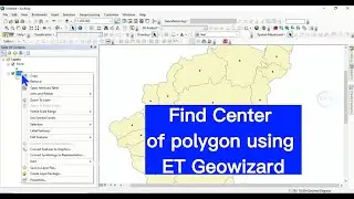
How to find or extract centroid of polygon in QGIS: • How to find or extract centroid of po...
Transfer Column Values to another column in QGIS Attribute table: • Transfer Column Values to another col...
How to Split Screen View in QGIS: • How to Split Screen View in QGIS
Remove black background from image in QGIS: • Remove black background from image in...
Create Consecutive Numbers in QGIS Attribute Table Using Expression: • Create Consecutive Numbers in QGIS At...
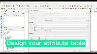
Renaming field of attribute table in QGIS: • Renaming field of attribute table in ...
Fill or Auto-populate field in attribute table of QGIS: • Fill or Auto populate field in attrib...
Divide polygon in ArcGIS: • Divide polygon in ArcGIS
Clip Raster in QGIS (different ways): • Clip Raster in QGIS (Different ways)
Converting Raster to Vector in QGIS and calculate the area: • Converting Raster to Vector in QGIS a...
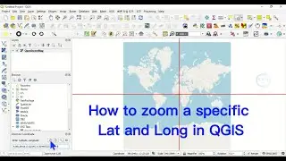
Extract Lat and Long Coordinates in D° M' S" in QGIS: • Extract Lat and Long in D° M' S" in ...
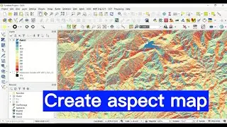
Create slope map in QGIS from DEM: • Create slope map in QGIS from DEM
How to do interpolation in ArcGIS: • How to do interpolation in ArcGIS
How to convert Shapefile Layer to KML KMZ file in ArcGIS: • How to convert Shapefile Layer to KML...
Solve table of content disappearing in ArcGIS: • Solve table of content disappearing i...
How To Add Data Of Different Formats Into ArcGIS: • How To Add Data Of Different Formats ...