Nigerian states and their landmass: Explore Nigeria
#Nigeria #state #landmass #area #viral #tutorial #viralvideos #gis #data #spatial #map
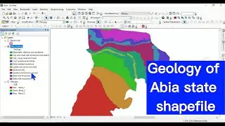
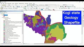
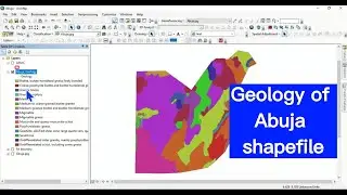
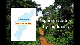
This video shows you the Nigerian states and their landmass. The land mass was extracted from the shapefile of each state
. Enjoy your watching and subscribe.
For business and enquiries: WhatsApp+2347065365193 or Email: [email protected]
Twitter/X: / geojay_gis
Subscribe for more videos:
/ @geojaygissolution4856
Related videos
Rainfall data for the 774 LGAs in Nigeria from 1981 to 2022: • Rainfall data for 774 LGAs of Nigeria
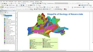
The Soil Map Of Nigeria: • The Soil Map Of Nigeria
Nigeria River Basins: Shapefile: • Nigeria River Basins: Shapefile
Nigeria Healthcare facilities data shapefile: • Nigeria Healthcare facilities data sh...
Nigerian states, LGAs and wards shapefiles with their population data: • Nigerian states, LGAs and wards shape...
World countries and their national flags: Current affairs: • World countries and their national fl...
Over 90 GIS and Remote Sensing research topics: Choose a project topic: • Over 90 GIS and Remote Sensing resear...
African countries and their flags: Current affairs, explore Africa: • African countries and their flags: Cu...
How to design national flag of any country in QGIS using shapefile: • How to design national flag of any co...