Google Earth PRO as a Mapping Tool | Map making with Google Earth PRO
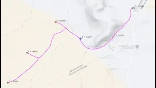
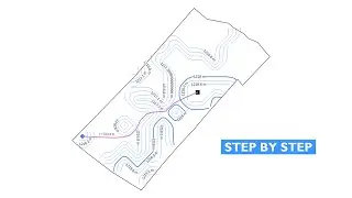
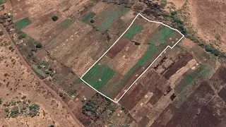
Google Earth PRO is a tool that can be used for mapping or creating a map. So today we are going to learn how we can use Google Earth PRO to make a very basic yet powerful map! In this Google Earth PRO mapping tutorial, we will learn how to use Google Earth PRO tools like placemark, polygon tool and path tool! Our map will include map properties like title, legend, north arrow and scale bar! In short, everything will be explained in a very simple way just to make sure you understand the concept!
Google Earth PRO might not be a common tool for making a full-fledged map because when we want to make a map we usually use software like QGIS but we can also use Google Earth PRO to create simple maps or to accomplish the same task! The good thing is it is quite a simple tool to use compared to other GIS Software like QGIS or ArcGIS!
So make sure you stick until the end and don't forget to subscribe and share with your friends if you have not!
Regards Engineer Lodrick Thomas
Founder at @Hydroinformatics Academy
=====TIME STAMPS=====
00:00 Intro
00:33 Important Settings & Area Location
01:26 How to use Placemark in Google Earth PRO Software
06:46 How to use Path in Google Earth PRO Software
12:08 How to use Polygon in Google Earth PRO Software
18:21 How to place Title, Legend, Scale bar and North Arrow in Google Earth PRO Map
24:22 Export Map in PNG Image file
RECOMMENDED TUTORIALS
Extract Coordinates in Google Earth PRO: • Extract UTM (Eastings and Northings) ...
==============
FOLLOW HYDROINFORMATICS ACADEMY ON SOCIAL MEDIA
==============
Telegram Channel: https://t.me/hydroinformaticsacademy
Linkedin Page: / hydroinformaticsacademy
Facebook Page: / hydroinformaticsacademy
Want to support my channel? Here's Patreon Link: / hydroinformaticsacademy
DISCLAIMER
=======
This is not engineering advice. Everything here is for informational and educational purposes only!


