How to create buffer around point, line, and polygon shapefiles in ArcGIS Pro
How to create buffer around point, line, and polygon shapefiles in ArcGIS Pro
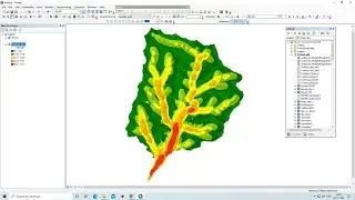
A buffer refers to an area or zone created around a specific geographic feature, such as a point, line, or polygon. The buffer is defined by a distance or a specified area around the feature. The buffer tool in GIS software calculates the buffer zone based on the input parameter and creates a new geometry that represents the buffered area.
Join our telegram Group Remote Sensing & GIS Professionals:- https://t.me/joinchat/UhUorR2yhloKeKP...
Any Help Contact
Mr.Vikas [email protected]
WhatsApp Number= +918421031398
WhatsApp Chat:https://wa.me/+918421031398
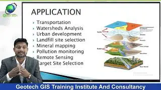
Geotech GIS Training institute is a prestigious remote sensing training institute in India. Our vision is to bring an opportunity to every aspirant who dreams of a successful career in remote sensing and GIS field.
We conduct the following courses:
Training Program Related to Project Work- Duration- 1 Month
Basics of Remote Sensing and GIS - Duration- 3 Months
Advance Diploma in Remote Sensing and GIS - Duration- 6 Months
PG Diploma in Remote Sensing and GIS- Duration- 1 Year
Master of Remote Sensing and GIS - Duration: 2 Years
You May Like
Population Density Data: https://www.census2011.co.in/census/s...
Diva GIS Shapefile: https://www.diva-gis.org/gdata
RS & GIS QA15- Download ready-to-use contour lines from Open DEM & Generate DEM from Contour: • RS & GIS QA15- Download ready-to-use ...
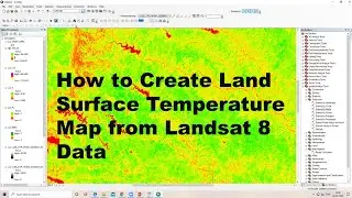
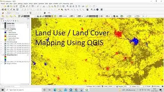
Land Use Land Cover Mapping in QGIS: • Land Use Land Cove (LULC) Mapping usi...
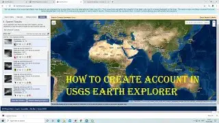
How to Download Landsat 9 Data set from USGS earth Explorer: • How to Download Landsat 9 Data set fr...
Download Rainfall data: • Download rainfall data from CHRS Data...
Google earth Playlist : • Google Earth Hands On
ArcGIS : • ARC GIS
QGIS: • QGIS Lesson
Tags,
BandComposite, RemoteSensing, SatelliteImagery, ImageProcessing, GIS, EarthObservation, SpatialAnalysis, DataVisualization, RGBComposite, FalseColorComposite, ImageMosaicking, GeospatialTechnology, GIScience, Mapping, EarthScience, Landsat.