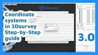
A Complete Guide to 3Dsurvey’s Updated Coordinate System
Master 3D Survey's New Coordinate System! 🌍📍
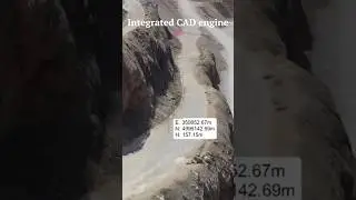
In this webinar, we dive deep into 3D Survey's updated coordinate system, covering essential tips, tricks, and best practices. Learn how to select the right coordinate system preset, understand geographic vs. projected systems, and work with grid files & PRJ files for advanced workflow.
Whether you're a beginner or an expert, this session will help you work with coordinate systems more efficiently in 3D Survey.
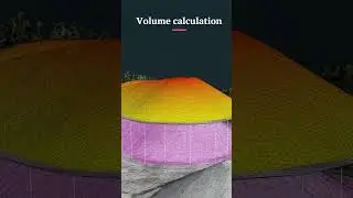
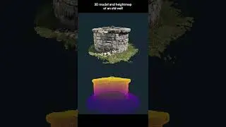
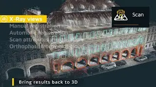
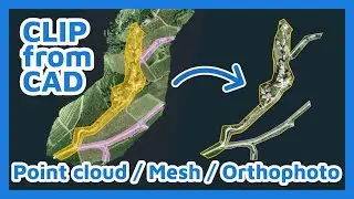
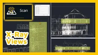
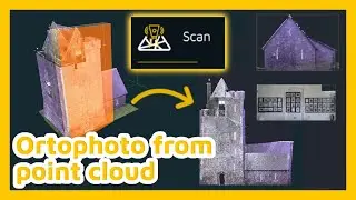
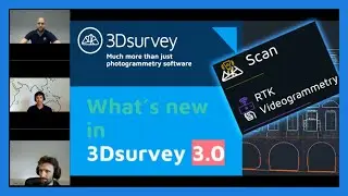
3Dsurvey: Much more than just photogrammetry software. 💪
Hit the SUBSCRIBE button to stay updated ☑️
Start the FREE TRIAL now: https://bit.ly/3D-free-trial
Follow us on social media:
Facebook: / 3dsurveysoftware
Instagram: / 3dsurvey
LinkedIn: / 3dsurvey
Or visit our website: https://3dsurvey.si/