Tutorial 2 - 3Dsurvey | Image Import with Telemetry and GCP based orientation
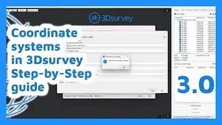
Disclaimer: this tutorial demonstrates the older coordinate system selection. If you are using 3Dsurvey 3.0 or newer the first part of this tutorial is irrelevant for you. Please check the newer tutorial we made: • Setting Up Coordinate Systems in 3DSu...
CLICK HERE TO DOWNLOAD 3Dsurvey FREE TRIAL!
http://bit.ly/3DsurveyFreeTrial
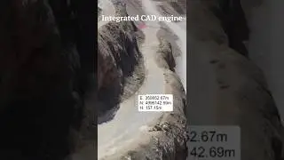
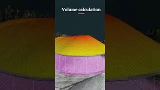
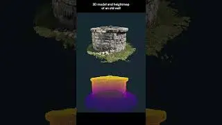
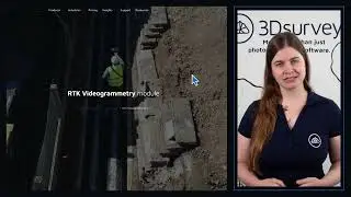
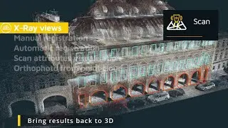
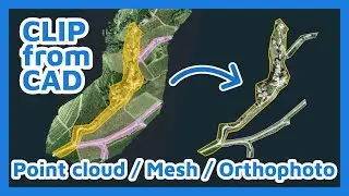
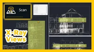
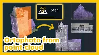
This tutorial shows how to start your project and demonstrates the workflow from importing images and telemetry files, GCP orientation and geo-referencing, all the way to calculating an orthophoto.
This scenario applies if you're using images captured by drones, such as C-Astral Bramor, MAVinci Sirius Pro, eBee RTk, or any other telemetry-capable cm-grade accuracy UAS.
Subscribe to 3Dsurvey: http://bit.ly/3DsurveyYTsubscribe
---- Follow 3Dsurvey ----
Subscribe to 3Dsurvey: http://bit.ly/3DsurveyYTsubscribe
On our website: http://www.3Dsurvey.com
On Facebook: / modriplanet