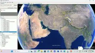
How to Download Satellite Image using Google Earth || Using Geo-Spatial Technology
How to Download Satellite Image using Google Earth || Using Geo-Spatial Technology #googleearth
#learning #study #school #education #students #educational #teaching #educationmatters #teacher #student #knowledge #ibps #rrb #university #upsc #science #SSC #ssccgl #pcs #teachers #learn #ias #ifs #gk #highereducation #gktricks #studyabroad #college #facts #educationfirst #ytools
Video:- Created by Dhruv Saini
Voice:- Dhruv Saini
Lable Name:- Geo-learning Platform
Instagram:- @geolearning_platform
Email:- [email protected]
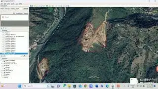
Vectorization, Georeference, and Projection.
Data Integration
Geodatabase and Topology Creation
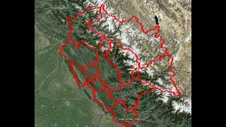
Preparation of Contour from Google Earth
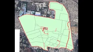
Interpretation and Vectorization LULU for Rural Areas and Lots of Thinks