Mapping Vegetation in Near-Real Time with Planet Data
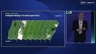
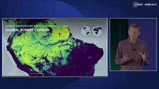
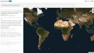
Creating and maintaining up-to-date vegetation maps can be a challenge due to data latency, a variety of delivery platforms, and having to use multiple analysis tools. University of Montana's Spatial Analysis Lab used weekly, high-resolution basemaps in Esri's ArcGIS Pro to demonstrate the generation of near-real time invasive weed mapping on the Crow Reservation in southeast Montana, US. UM's Ryan Rock and Dr. Claudine Tobalske demonstrates a simple approach to using high-frequency imagery, in combination with field data, to streamline vegetation mapping for a more adaptive approach to resource management.
Speakers:
Ryan Rock, Image Analyst & Ecologist, UM Spatial Analysis Lab
Dr. Claudine Tobalske, GIS Analyst & Ecologist, UM Spatial Analysis Lab


![[FREE FOR PROFIT] Три дня дождя x МУККА type beat | Pop punk type beat -](https://images.videosashka.com/watch/xdqqIm7zulU)