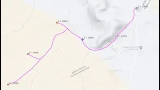
Create a Map with QGIS and Google Earth PRO (Water Supply Project Layout) - [Part 01]
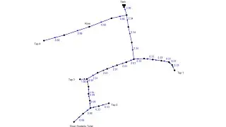
In today’s QGIS Tutorial, I am going to show you how to perform mapping and to produce a map or water supply project layout by using QGIS Software! We will use QGIS and Google Earth PRO because they are free and easy to use!
You will learn how to use different QGIS and Google Earth PRO tools for example how to prepare shapefiles, how to work with points in Google earth pro and so forth!
I believe this is going to be an informative video!
Eng. Lodrick
Hydroinformatics Academy


