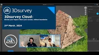
Webinar: Drone Mapping for Surveying
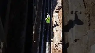
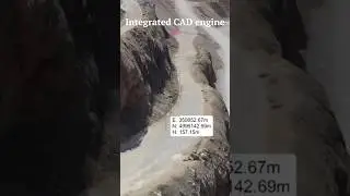
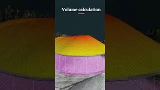
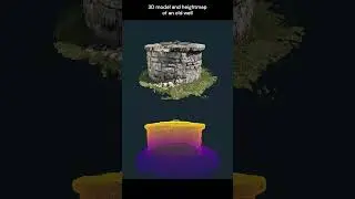
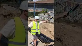
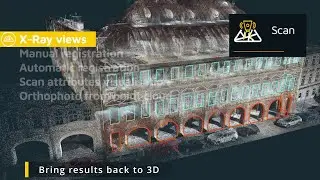
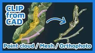
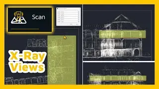
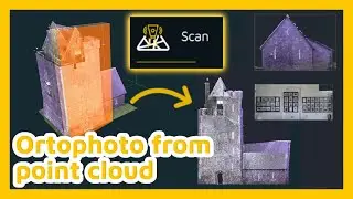
The use of unmanned aerial vehicles in geodetic surveying is becoming an increasingly common practice, which allows us to survey areas larger than 10 to as much as 1000 hectares in a few hours, depending on the task we have been given.
3Dsurvey - By surveyors for surveyors
Hit the SUBSCRIBE button to keep updated ☑️
Ready to test out our FREE TRIAL? Sign up here: https://bit.ly/3D-free-trial
Follow us on social media:
Facebook: / 3dsurveysoftware
Instagram: / 3dsurvey
LinkedIn: / 4838939
Or visit our website: https://3dsurvey.si/


![Deep Thoughts on Poverty Mindset [Real Talk]](https://images.videosashka.com/watch/9rdQK3JTYfg)