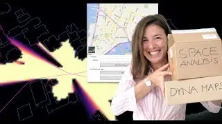
DYNAMO - Space Analysis + DynaMaps Unboxing
In this video I'll show you how to use Dynamo to create an urban environment analysis.
The package DynaMaps can be used to import buildings and topography directly from Google Maps into Dynamo and Revit.
The package SpaceAnalysis can be used to analyse visibility on site and path finding.
The tutorial for DynaMaps: https://data-shapes.io/2019/06/07/get...
The tutorial for Space Analysis: https://www.keanw.com/2019/04/using-t...
Follow me on Instagram: / thatbimgirl
Follow me on Twitter: / thatbimgirl
Contact me on Linkedin : / jacqueline-rohrmann-b17130141
Or via E-Mail: [email protected]