61 тысяч подписчиков
128 видео
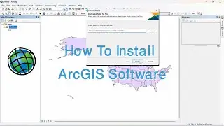
How to Install ArcGIS
ArcPy Script to Copy Layer from MXD to MXD (Course: ArcPy for ArcMap Level 2, Lecture: 34) | Python
ArcPy Script to Add Geodatabase (Course: ArcPy for ArcMap Level 2, Lecture: 33) | Python | GIS |
ArcPy Script to Add Shapefile (Course: ArcPy for ArcMap Level 2, Lect: 32) | Python | GIS |
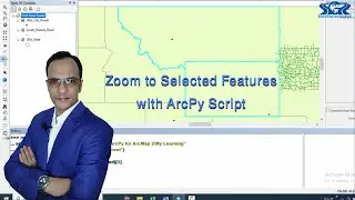
Zoom to Selected Features with ArcPy Script (Course: ArcPy for ArcMap Level 2, Lect: 31)
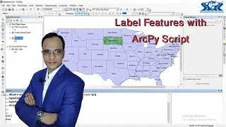
Label Features with ArcPy Script (Course: ArcPy for ArcMap Level 2, Lect: 21)
ArcPy Script to Make A Layer Inactive Without Opening ArcMap (Course: ArcPy for ArcMap Level 2)
ArcPy Script to Make A Layer Visible / Invisible (Course: ArcPy for ArcMap Level 2, Lecture: 18)
Identify The Data Source of Layer (Course: ArcPy for ArcMap Level 2, Lect: 17)
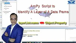
Identify A Particular Layer of A Selected Data Frame (Course: ArcPy for ArcMap Level 2, Lect: 16)
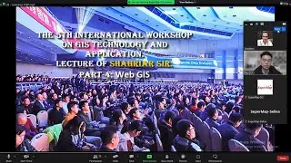
International GIS Workshop, China. Part 4: Web GIS | Shahriar Sir | GIS Speaker | Types of GIS |
International GIS Workshop, China. Part 3: Desktop GIS | Shahriar Sir | GIS Speaker | Types of GIS |
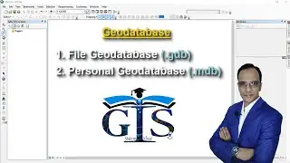
Introducing Geodatabase: Personal Geodatabase and File Geodatabase (Course: ArcGIS Level 1) | GIS |
FREE Course: Introduction to GIS (Lecture 10: Introduction to ArcScene) | ArcScene User Interface |
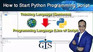
How To Start Writing Python Programming Script in ArcGIS (Course: ArcPy for ArcMap Level 1) | GIS |
ArcMap vs ArcGIS Pro (Course: ArcGIS vs ArcGIS Pro Level 1: Fundamental, Lecture:12) | Desktop GIS |
Proper Guide to Start Learning GIS for GIS Career (Be A GIS Genius) | Desktop GIS | Web GIS | Tips |
Course: ArcPy for ArcMap Level 2: 50 Scripts of ArcPy for GIS Work | Python Programming for GIS |
Graduated Symbol for Polygon in ArcGIS Pro (Course: ArcGIS Pro vs QGIS Level 3, Lecture: 6) | GIS |
How to Convert Shapefile to KML (Course: ArcGIS Level 1. Lecture:51) | Google Earth | GIS | ArcMap |
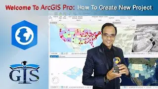
How to Start ArcGIS Pro and Create A New Map/Global/Local Scene Project (Course: ArcGIS Pro Level 1)
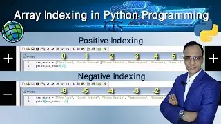
Indexing Array with Positive and Negative Index Number in Python (Course: ArcPy for ArcMap Level 1)
How to Add Field Name With Space in Attribute Table (Course: ArcGIS Level 2) | ArcMap | Field Alias.
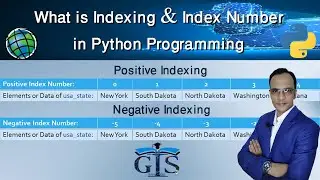
What is Indexing, Index Number and Index Type in Python Programming (Course: ArcPy for ArcMap Lev.1)
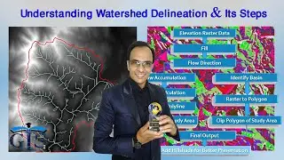
Course: ArcGIS Level 2: Advanced Analysis, Editing and Mapping | Watershed Delineation in ArcMap |
Course: ArcGIS Pro vs QGIS Level 3: Advanced Map Styling & 2.5D Map | Online GIS Course | 3D Map |
Easy Definition of GIS and Types of GIS (Course: Basic of Desktop GIS & Web GIS, Lecture:5)
Course: ArcGIS Level 1: GIS & ArcMap, ArcCatalog, ArcGlobe, ArcScene | Online Desktop GIS Course |
ArcPy Script to Select by Location (Course: ArcPy for ArcMap Level 2, Lect: 30) | Python for GIS |
Introducing Database Connection: Join and Relate Attribute Table (Course: ArcGIS Level 2, Lecture:9)
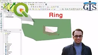
Ring Tool of QGIS (Course: QGIS Level 2: Advanced Editing, Styling, Diagram & Layout. Lec:34) (GIS)
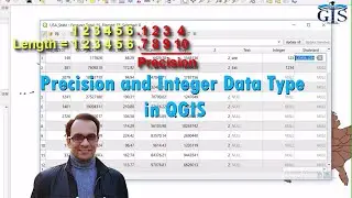
Precision and Integer Data Type in QGIS (Course: ArcGIS Pro vs QGIS Level 2, Lect:14) | Add Field |
How to Start Learning Web GIS and it's Career (Course: Basic of Desktop GIS & Web GIS, Lecture: 22)
Course: ArcGIS vs ArcGIS Pro Level 2: Map Styling, Editing & Web GIS | ArcMap | Desktop GIS | Tips |
GIS DAY 2023 @ Shahriar GIS School | GIS | ArcGIS | QGIS | Web GIS | Online Course & GIS Training |
Course: GeoServer Level 1: Web GIS & Server Management | Open Source | Programming Language | Tips |
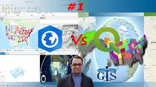
GIS Course: ArcGIS Pro vs QGIS Level 1: Fundamental | Basic Desktop GIS Tutorial | Learning GIS |
FREE Course: Introduction to GIS (Lecture 4: Introducing Desktop GIS) | Types of GIS and Software |
GIS DAY 2021 @ Shahriar GIS School | GIS | ArcGIS | QGIS | Web GIS | Online Course & GIS Training |
Course: ArcGIS vs ArcGIS Pro Level 1: Fundamental | Desktop GIS Basic | ArcMap | Online Course |
Course: ArcPy for ArcMap Level 1: Python Programming for ArcGIS | GIS | Programming Techniques |
Course: ArcGIS Pro vs QGIS Level 2: Map Editing, Database & Web GIS | Online Advanced GIS Course |
Auto Label Visibility Tricks in ArcGIS Pro & Dynamic Label Like Basemap (Course: ArcGIS Pro Level 1)
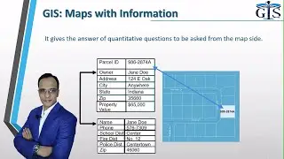
Geographic Information System (GIS) (Course: ArcGIS Level 1. Lect: 3) | What is GIS | Desktop GIS |
Understanding Watershed Delineation and Its Steps for Hydrology Analysis (Course: ArcGIS Level 2)
QGIS User Interface Part 1 (Course: ArcGIS Pro vs QGIS Level 1: Fundamental, Lecture: 17) | GIS |
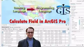
Calculate Field in ArcGIS Pro (Course: ArcGIS Pro vs QGIS Level 2, Lect:12) | GIS Field Calculator |
ArcGIS Online Embed Map Problem Solution with HTML Code (Course: ArcGIS Online Level 1, Lecture: 44)
Course: ArcGIS Pro Level 1: ArcGIS Pro for Smart GIS | ArcMap to ArcGIS Pro | Online GIS Course |
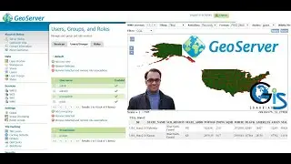
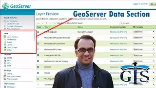
GeoServer Data Section (Course: GeoServer Level 1: Web GIS & Server Management, Lect: 14) | Layers |
Geographic Information System (GIS) | Introduction to GIS | Basic of GIS | What is GIS | Shahriar |
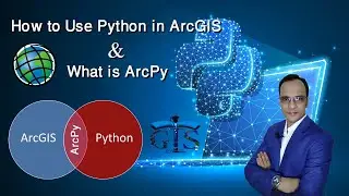
How to Use Python Programming in ArcGIS and What is ArcPy (Course: ArcPy for ArcMap Level 1) | GIS |
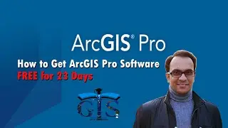
How to Download ArcGIS Pro Software FREE for 23 Days (Course: ArcGIS vs ArcGIS Pro Level 1, Lect:10)
FREE Course: GIS Course for Beginners (Lecture 6: Introducing ArcGIS) | ArcGIS Software Packages.
FREE Course: GIS Course for Beginners (Lecture 3: GIS) | What is Geographic Information System
Rule-based Symbology for Polygon in QGIS (Course: ArcGIS Pro vs QGIS Level 3, Lecture: 13) | GIS |
ArcGlobe with Vector Layer (Course: ArcGIS Level 1. Lecture: 58) | KML | Shapefile | Google Earth |
Course: Fundamental of Web GIS: All Types of Web GIS Interfaces | Introducing Web GIS & its Career |