137 тысяч подписчиков
195 видео
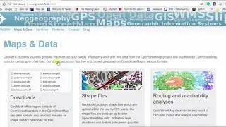
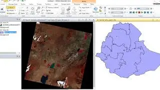
Download Free GIS Data (administrative boundaries) from geofabrik.de
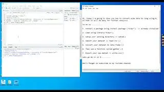
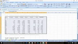
How to convert wide CSV/Excel data to long in R | Tidyr Package
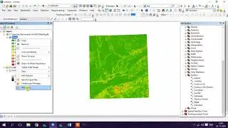
Creating Slope Map in ArcMap
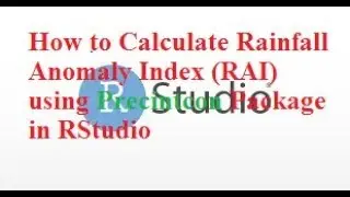
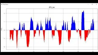
How to Calculate Rainfall Anomaly Index (RAI) using Precintcon Package in RStudio
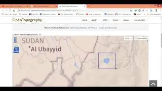
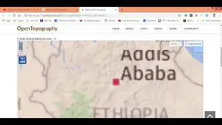
How to Download 30m and 90m Resolution SRTM Digital Elevation Model Data from OpenTopography
How to Calculate Potential Evapotranspiration using SPEI Package in Rstudio
Create Aspect in ArcMap
How to Calculate SPEI and SPI Indices using SPEI Package in RStudio
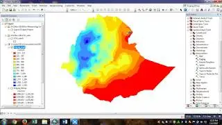
Interpolation in ArcMap using Kriging
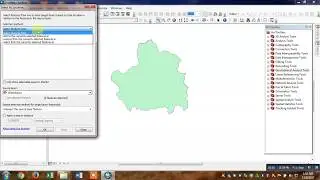
Extracting Area of Interest using Select Feature Tool in ArcMap
How to Download 2016 Free Land Use Land Cover Data for African Countries
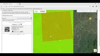
How to Make NetCDF Raster Layer and Extract Region of Interest in ArcMap
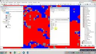
Prepare Land Use Land Cover Map using ArcMap
How to Download Sentinel-2 Level-1C Satellite Image from EarthExplorer (USGS)
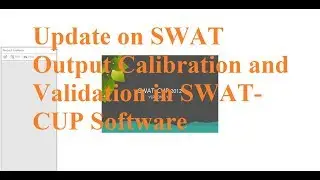
How to Calibrate and Validate Simulated SWAT Output in SWAT-CUP Software
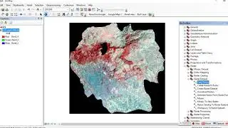
How to Layerstack and Subset Landsat8 Imagery in Erdas
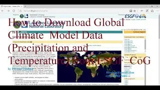
How to Download Global Climate Model Data (Precipitation and Temperature) from ESGF_CoG
How to Add MWSWAT Extension in MapWindow GIS for SWAT Runoff Modeling
Download 30m Spatial Resolution SRTM DEM Data From EarthExplorer
Calculate Cut and Fill in ArcMap
How to Download Global Digital Surface Model ALOS World 3D 30m (AW3D30)
How to Install SPEI Package in R Software
Import Excel Data to ArcMap
Remove Black Background from Landsat Imagery in ArcMap
Add ArcGoogle Extension to ArcMap 10.5
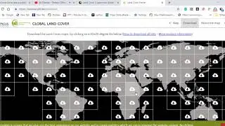
How to Download 2015 Global Land Cover
How to Prepare Weather Generator (WGN) Data for SWAT Rainfall-Runoff Modelling: Part 2
How to Calculate LS Factor Using Moore and Burch Equation in ArcMap
How to Download the Boundary(Shapefile) of Any Feature using Open Street Map
How to Install R and RStudio in Windows 10
How to Calculate Normalized Difference Vegetation Index (NDVI) in ArcMap 10.5
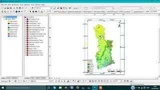
Prepare SWAT Project Setup for Rainfall-Runoff Modelling in ArcMap: Part 1
How to Extract Water-bodies (Lakes and Rivers) from Landsat8 Imagery in ArcMap: Lake Tana