KMZ Export Tutorial for Civil 3D (FAST & EASY GUIDE)
Hello everyone!
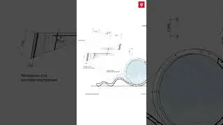
In this video, I provide a step-by-step guide on how to create a #KMZ file from our #Civil3D project. Starting from scratch, we'll walk through all the necessary steps to display your project data on #GoogleEarth
What you'll learn in this video:
Defining and setting up the project coordinate system
Using the Toolspace and Toolbox tabs
Exporting the KMZ file and viewing it in #Google #Earth
Tips on object selection and precise elevation settings
I
f you'd like to learn more about exporting and importing geographic coordinates in detail, feel free to check out my previous video by clicking the card in the top right corner.
Don't forget to subscribe to my channel and like the video for more content! If you have any questions or suggestions, please leave them in the comments below.
This video is dubbed with my own text and voice using ElevenLabs TTS.
My Social Media Accounts:
Facebook: / haritagym
YouTube: / @i.h.a
Instagram: / haritagym
LinkedIn: / haritagym
You can contact me from the link below for my Civil 3D Courses and Online Education Programs. https://haritaci.com.tr


![HOW TO GET FISHMAN KARATE + SHOWCASE! [SQUARE PIECE]](https://images.videosashka.com/watch/hYK8KdZ8dW4)