Import and Export of Data | LAND4 for ARCHICAD®
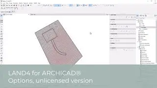
In LAND4 (v2) for use with ARCHICAD you can import x,y,z-data and see it presented as LAND4 Spot Levels. LAND4 Spot Levels, in turn, can be exported as x,y,z-data for use in other applications.
In LAND4 (v2) for use with ARCHICAD you can import x,y,z-data and see it presented as LAND4 Spot Levels. LAND4 Spot Levels, in turn, can be exported as x,y,z-data for use in other applications.