LandXML, import and export | LAND4 for ARCHICAD®
The latest version of LAND4 for use with ARCHICAD allows landscape architects to collaborate seamlessly with other land development professionals, such as civil engineers, land surveyors, and urban planners.
This is due to the introduction of LandXML import and export. Users of LAND4 can now directly share their project data with users of other software applications supporting LandXML files, such as CIVIL 3D, Trimble, MicroStation, and 12d.
The video above shows how to import 3D surfaces with textures using the LandXML format. This file type can include 3D points, 3D lines, and faces (TIN models). Once imported, the model will be transformed into a LANDSurface, the 3D points will become Spot Levels, and the 3D lines will be converted into LAND4 Ridge Lines.
The shown enhanced interoperability between different software applications helps streamline workflow and is essential for efficient and effective project delivery.
---
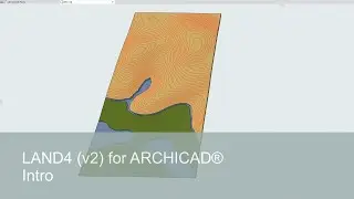
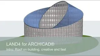
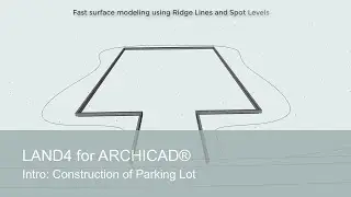
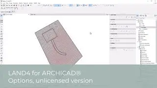
LAND4 is our BIM landscaping add-on for ARCHICAD. It is tailored to the specific needs of landscape architects, providing powerful and efficient tools to streamline your work processes.
FREE TRIAL LICENSE
Experience the power of LAND4 with a 30-day free trial license. Order here: https://visit.land4cad.com/freetrial
LAND4 KNOWLEDGE BASE
At https://visit.land4cad.com/support, you can find our LAND4 knowledge base holding articles, more video tutorials and answers to frequently asked questions.