54 тысяч подписчиков
125 видео
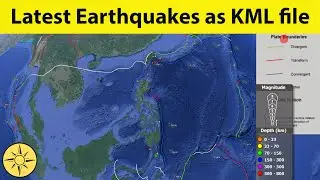
Get Latest Earthquakes as KML file
Data mining tool for OpenStreetMap
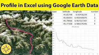
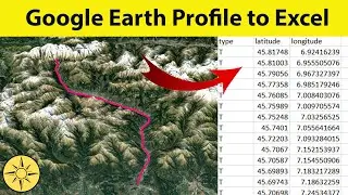
Profile in Excel using Google Earth Data
Extract Profile From Google Earth to Excel
Get Free Terrestrial Gravity Data
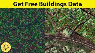
Get Free Buildings Data from Google
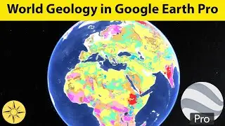
Get World Geology in Google Earth Pro
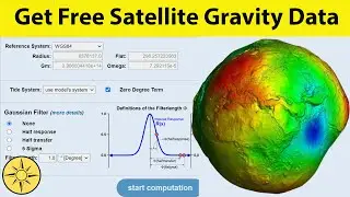
Get Free Satellite Gravity Data
Get Free High Resolution Drone Image
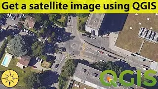
Get satellite image from Google Maps
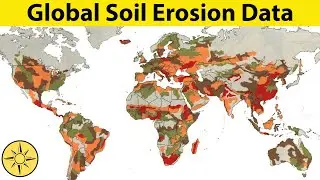
Get Free Global Soil Erosion Data
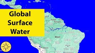
Get the Surface Water of any location
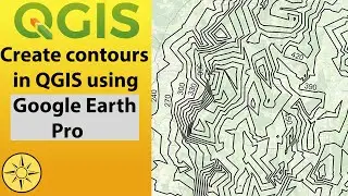
Create contours in QGIS using Google Earth Pro
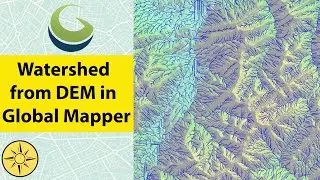
Generate watershed from DEM using Global Mapper
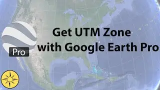
Get UTM zone with Google Earth Pro
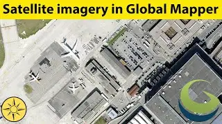
Download high resolution satellite image using Global Mapper
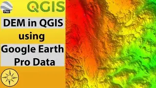
Create DEM in QGIS using data from Google Earth Pro
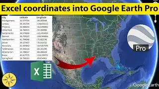
Importing Excel coordinates into Google Earth Pro
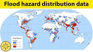
Get free global flood hazard distribution data
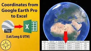
Extract coordinates from Google Earth Pro to Excel
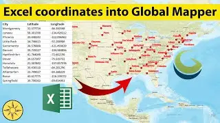
Importing Excel coordinates into Global Mapper
Download high resolution satellite image using QGIS
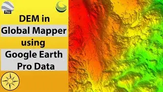
Create DEM in Global Mapper using data from Google Earth Pro
Clip raster using polygon in QGIS
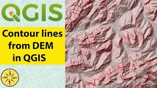
Generate contour lines from DEM using QGIS
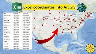
Importing Excel coordinates into ArcGIS Desktop
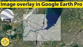
Image overlay in Google Earth Pro
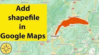
Import shapefile into Google Maps
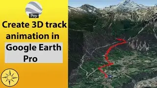
Create 3D track animation in Google Erath Pro
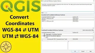
Convert WSG-84 and UTM coordinates using QGIS
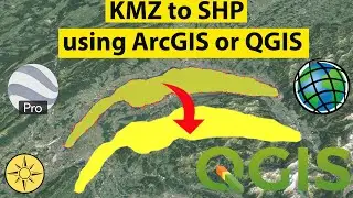
Digitizing and importing KMZ file from Google Earth Pro into shapefile in ArcGIS or QGIS
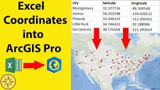
Importing Excel coordinates into ArcGIS Pro
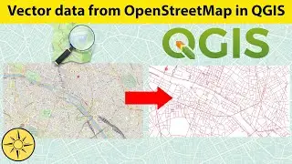
Extracting vector data from OpenStreetMap using QGIS
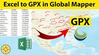
Convert Excel to GPX using Global Mapper
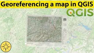
Georeferencing a map in QGIS
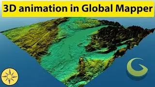
Create a 3D fly-through in Global Mapper
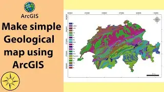
Create a geological map using ArcGIS
Interpolation by kriging in ArcGIS Desktop
Convert Excel to GPX using QGIS
Merge raster DEM in ArcGIS
Importing Excel coordinates into QGIS
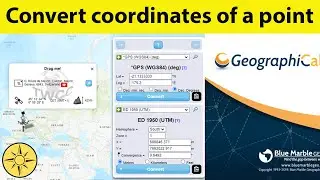
Convert coordinates of a point
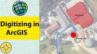
Digitizing and labeling in ArcGIS
Get OpenStreetMap in Google Earth Pro
Download high resolution satellite image using SASPlanet
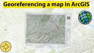
Georeferencing a map in ArcGIS Desktop
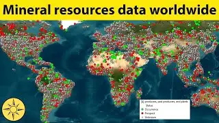
Download mineral resources data worldwide
Generate Digital Elevation Model (DEM) from Google Earth Pro
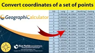
Convert coordinates of a set of points
convert coordinate system of a shapefile