42 тысяч подписчиков
173 видео
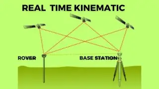
Real Time Kinematic: Enhancing Accuracy and Precision in Surveying and GPS Positioning
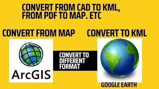
Convert - how to convert to kml on arcmap/convert pdf to arcmap
Autocad| How save autocad file from higher versions to lower version|
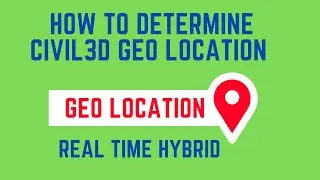
Geolocation|| autocad civil3D geolocation using projected coordinate system ||
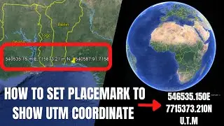
Google Earth | how to set and display UTM coordinate on google earth |
Setting out, stake out || how to set out point using DGPS
How to generate contour and label contour from raster image
Google Earth | how to use google earth🌎 as a surveyor |
Print as Pdf | how to set page print to dwg pdf for autocad drawing |
DWG Fastview | how to convert autocad file from higher version to lower version using mobile phone|
ArcGIS Pro Python Field Calculator Using Multiple Conditions
Convert pdf to autocad file in 2 minutes
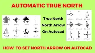
True North | how to set true north, north arrow on autocad civil3d |
AUTOLABEL|automatic bearing and distance on your boundary using autocad civil3d|
Notepad to Excel - convert .txt to .csv excel format
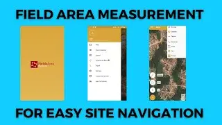
Field Area Measurement Navigation / How to use field area measurement on site, navigating point
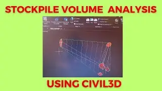
Mastering Civil3D Volume Analysis: Step-by-Step Guide
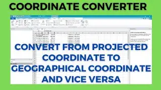
coordinate converter || utm to lat long, projected to geographical coordinate
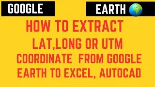
Extract coordinate from google earth || extract Lat, Long, utm coordinate from google earth to excel
plotting using coordinate method and bearing and distance method
Back Computation | from coordinates to distance and bearing |
Coordinate Extraction Made Easy: Master Civil3D Export Feature
Exporting xyz coordinate on autocad civil3d to excel csv and notepad
Leica Total Station
Digitizing| how to digitize map, georeference, create shapefile, on ArcGIS |
Surveying|| how to use observed angle to get corrected bearing ||
Unboxing Drone
Export Profile Data || how to export profile data from civil3d to excel ||
Convert Pdf to autocad using mobile phone
The Shocking Ease of Creating Complex Maps in QGIS with DeepSeek AI
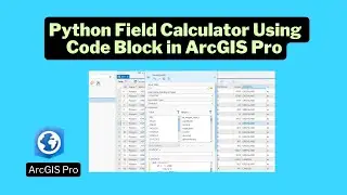
Python Field Calculator: Using Code Block for Analysis in ArcGIS Pro
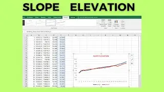
Slope Elevation|| how to check/view slope elevation of height, depth on excel ||
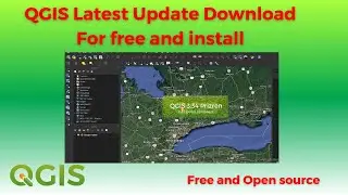
QGIS Download And Install Latest Update Open Source
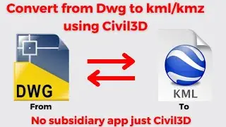
convert from dwg to kml/kmz on civil3d
Unleash the Power of Leica RTC360 & BLK360 The Ultimate 3D Laser Scanner Review | Survey Like a Pro!
Drone Mapping Series
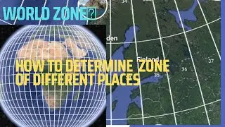
UTM ZONE || how to easily locate any utm zone in the world ||
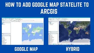
How to add satellite map in ArcGIS|| Arcgoogle in ArcGIS, google satellite, google earth in ArcGIS||
Youtube Membership Community
True North || automatic north arrow, set true north ||
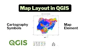
Map Layout in QGIS || Print Layout || Make Map in QGIS ||
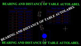
Table Autolabel || how to label bearing and distance using table format on autocad civil3d|
From Notepad to Excel: The Ultimate Data Conversion Guide (.txt to .csv)
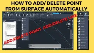
Automatic add and remove surface point || how to add point to surface, delete point from surface ||
Civil 3d tutorial for beginners
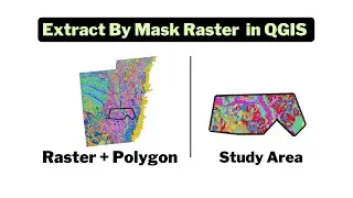
Extract by Mask || Clip a Raster With a Polygon in QGIS ||
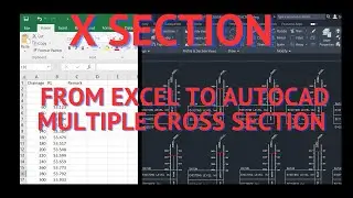
X section from excel to autocad multiple cross section
Survey
Autocad recover unsaved, deleted file|| auto recovery dwg file
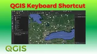
15 Keyboard Shortcuts for QGIS Beginners