28 тысяч подписчиков
56 видео
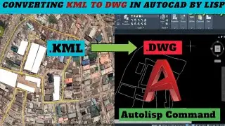
KML to DWG autocad file by Lisp || Unlocking AutoCaD hidden features
How I import Points From Excel to CAD in 2024 || Import as POINT ||
Top 5 AutoCad Commands you should Know in 2024 ||
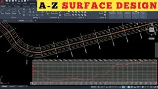
How I Create Surface Alignment in Autocad || Start to Finish || Latest Tips for Beginners
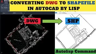
DWG to Esri SHAPEFILE in AutoCad by lisp ||
How I Download SRTM-30m elevation data from Global Mapper | Introduction to
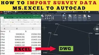
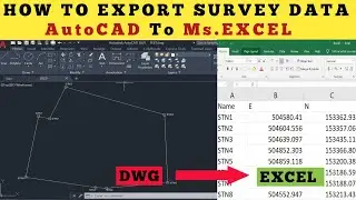
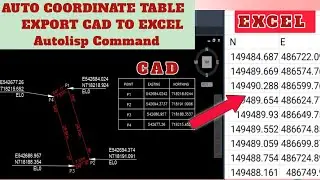
How I Export Survey Data Directly from CAD to Excel ||
How I import Coordinates from Excel into Tersus
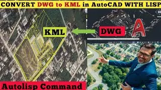
DWG to KML by Lisp || Unlocking AutoCAD hidden Features in 2025
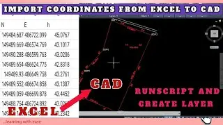
How I import Point From Excel to AutoCAD || Import as TEXT || runscript and create layer
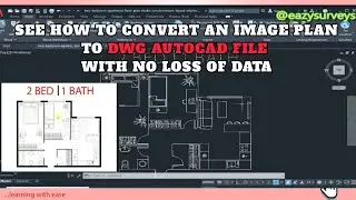
How to convert image to
Restore Missing Toolbars Quick fix solution in AutoCad ||
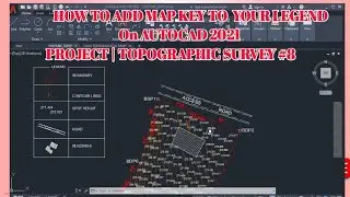
How I create Symbol Legend on AutoCAD ||
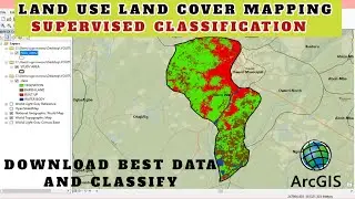
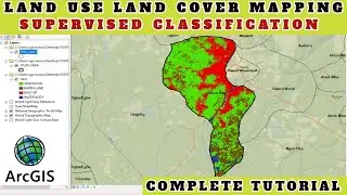
Creating Land Use Land Cover Map in ArcGIS: Comprehensive Guide ||
Creating Land Use Land Cover Map in ArcGIS || Start to Finish
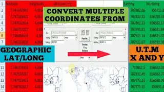
Converting Geographic Coordinates to UTM Coordinates Easily || No Calculator Needed
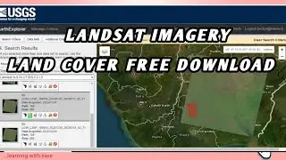
How to download Landsat imagery free || Remote sensing Tutorial || Complete video
Display Multiple Coordinates(XY) with Table Autolisp ||
How I download and install SAS Planet Software in 2025 || License Free SASGiS 2025
How Ai CREATE MAPS effortlessly in ArcGIS Pro (1) || Drainage Network || GIS Ai Mapping in 2025
How to Generate CONTOUR MAP with Ai in QGiS || Comparing Deepseek Ai to Manual Mapping in QGiS
How i Download and Install Latest QGIS Software in 2025 || License Free QGiS for Windows 10/11
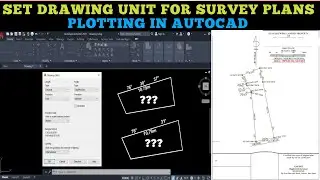
How i Setup DRAWING UNITS in CAD for Survey Plotting || AutoCAD for Beginners in 2025
Display Area of Parcel in Multiple Units by Lisp ||
How to use Google Maps in AutoCAD || Road Maps || Aerial Imagery
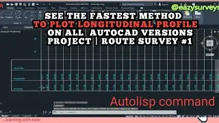
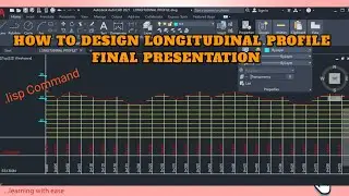
How i Create LONGITUDINAL PROFILE in AutoCAD || Route Survey Road profile for beginners
Best QGiS Plugins for Beginners in 2025 || Free Download || QGiS Tutorial for beginners
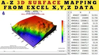
How I Create 3D Surface Map in Minutes || Start to Finish ||
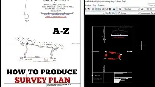
How i Plot SURVEY PLANS in AutoCAD || Start to Finish || Complete Tips for Beginners
How to Create LONGITUDINAL PROFILE in AutoCAD ||
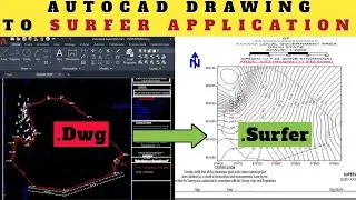
Import AutoCad drawing into surfer in 2025 ||
Fix Civil3D No Solution Found Adjust Parcel Layout Parameters ||
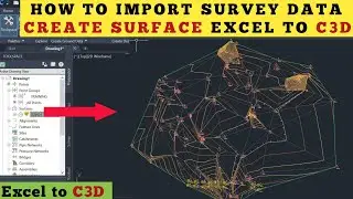
How to import Survey Data from Excel into Civil3D || Create Surface using Civil3D
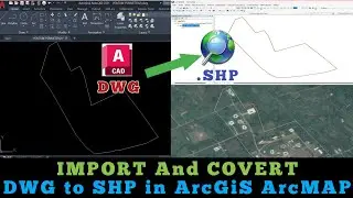
Import and Convert DWG AutoCAD file into Shapefile Easily in Arcmap || DWG to SHP in 2025
Import and Convert DWG files Directly into SHAPEFILES with ArcGiS Pro || DWG to SHP made easy